Showing posts with label wedge-tailed eagle. Show all posts

Tuesday, 3 December 2024

A Loopy Walk on the Plateau 4

Day 4: Cairns, An Eagle and a Hut

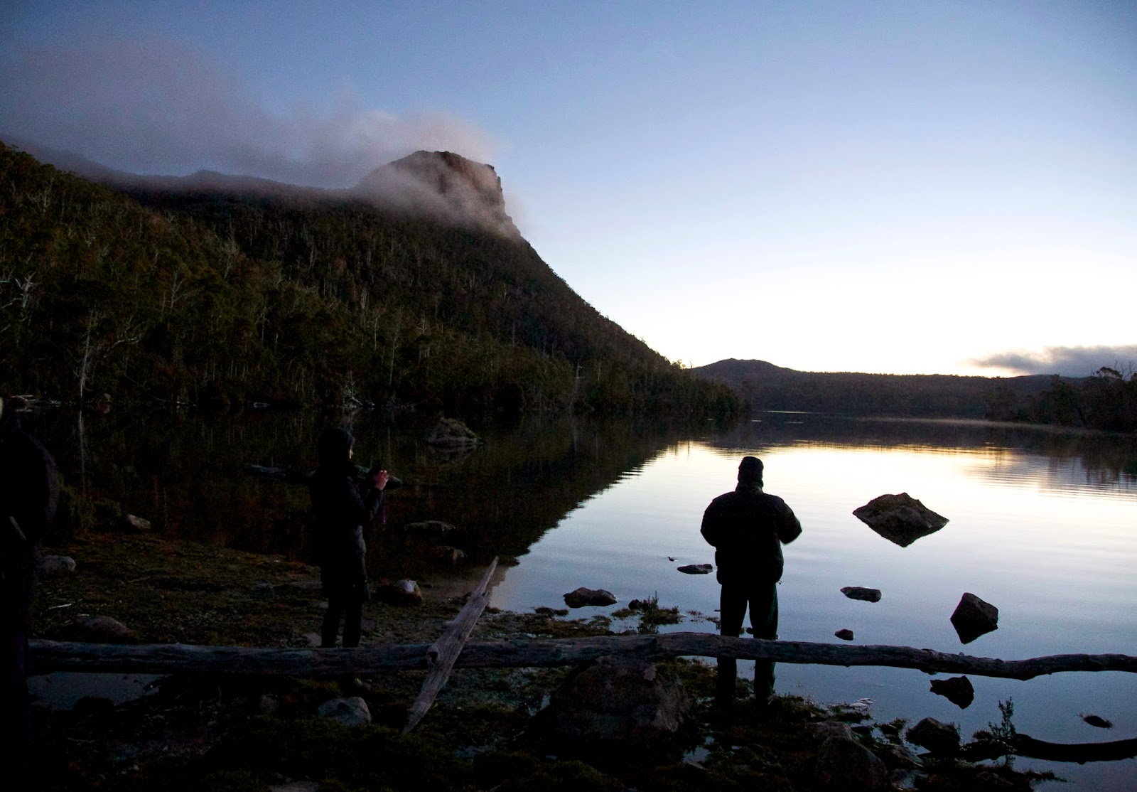
There’s something they don’t tell you about a peaceful, still night in a tent. Condensation! All of us, bar TimO, woke to drips of condensation in our tents. (Tim had wisely slept a little away from the lake, under the shelter of some pencil pine trees.) Apparently the lack of a breeze, a cold night, humid air pooling near standing water, and our own breath, had all combined to create lots of vapour that condensed on our tent flies.

Ah well, the sun was shining, and almost all was right with the world. Our tents would dry soon enough. So we ate breakfast, and packed up for a day of cairn finding. Larry was ready well before the rest of us, earning a mock rebuke or two. The fact is he had the scent of cairns in his nostrils, or more accurately he had GPS data that showed we’d camped only a few hundred metres from a Ritter cairn. And sure enough, only 20 minutes after breaking camp, we saw a pyramid-shaped object on a rise just ahead of us. That felt too easy, so at first I thought it just a bush. But as we drew closer, we saw it was indeed a lichen-encrusted pyramidal pile of rocks: surely a Ritter cairn!


[Our first Ritter Cairn of the trip]

After easily finding more cairns of similar ilk, we knew we were on the right track. Indeed Ritter’s Track was now looking somewhat trackish. We could still lose our way at times, and we did, but increasingly we found ground trail to show us the way. I was beginning to change my opinion of Ritter’s Track. 


[We started to find ground trail between cairns]

In this section at least, it was obviously followed by walkers and fishers. In fact some of these late-coming users of the historic route showed their zeal – or perhaps anxiety – by placing small intermediate cairns to make the route more obvious. We could tell they were much more recent because of their smaller stature and the lack of lichen growth on them. And here I had an idle thought: could scientists do a study on how long it takes for lichen to grow on rocks using Ritter cairns as a baseline?


[Some cairns were hard to miss]

We wandered on through undulating country, always within view of lakes. But most of our route kept to higher ground. This was originally so that cattle and horse riders could avoid the boggiest ground. For us it made for a mazy, meandering path, but it had the advantage of keeping our boots dry.


[Another cairn ... we're on track]

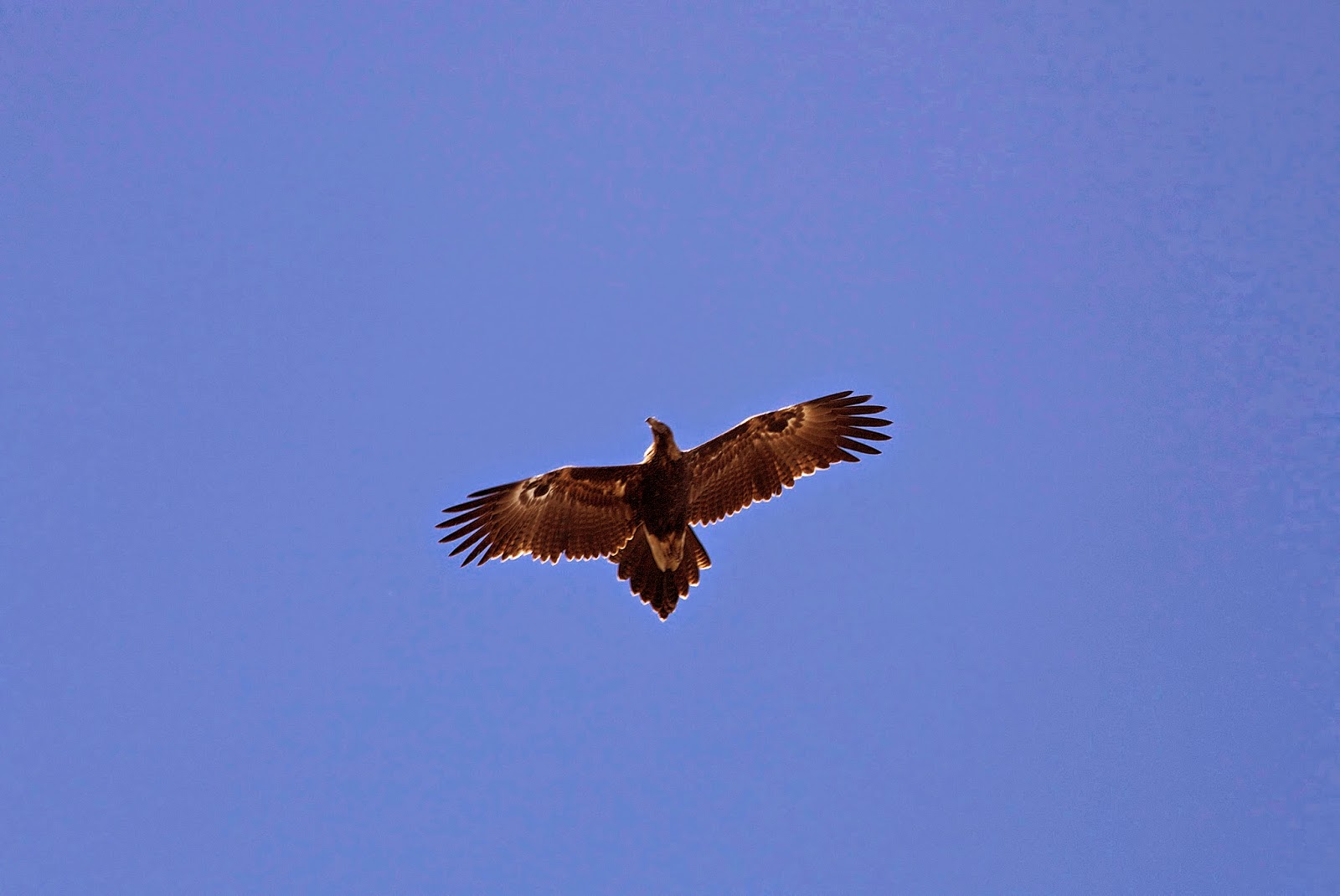
Again our destination wasn’t certain. We’d looked on the map, and considered some of the lakes on the southern side of Forty Lakes Peak, such as Lake Evans or Lake Halkyard, as possibilities. But they were well to the side of Ritter’s Track. Our deliberations were interrupted by another wedge-tailed visitation. The eagle flew around us a number of times, at one stage “escorted” fairly vigorously by a currawong. After a while it landed on a rock a little above us, and sat there checking us out. We returned the compliment, waiting with phones and cameras ready for when it took off again. It obliged, and eventually flew off to a crag that had a large bush on it. A nest, perhaps? 


[A wedge-tailed eagle circles above]

The eagle experience brought us sharply to the present, and reminded us of just where we were. I’d been dragging my feet a little, finding that the usual day 4 energy – by which time you’ve usually got your walking legs – was yet to come. But stopping and watching the eagle, and seeing not only this magnificent wild creature, but also the wild crags and lakes all around me, lifted my spirits. I felt deeply privileged to be out here with good friends on such a day.  


[Tim D contemplates the route ahead]

And now we found we were quite close to Lake Evans. It made a good lunch spot, though it was far too early to descend and check out camping possibilities. So after lunch we determined we’d march on in the direction of Forty Lakes Peak. Tim D kept calling it Forty Thousand Lakes Peak, which is closer to the actual number of lakes nearby. My memory of the peak was from a decade or more back, when some friends and I had climbed it from the Lake Nameless side. I recalled it being some 30-40 minutes from lake to peak. Slightly buoyed by that, we decided we’d make for Nameless, which had the bonus of the nearby Ironstone Hut.


[Ironstone Hut sitting above Lake Nameless]

It was still early in the afternoon, and the blue sky smiled on us. We pushed on around the sometimes rocky flanks of Forty Lakes Peak, and started our descent. It proved far longer and harder than my memory had it. Also Ritter’s cairns were now rare or non-existent. Instead we made a bee-line for Lake Nameless, striking scrub, boulder fields and general rough going. We finally staggered to the hut only a little short of two hours after leaving the tops.


[Relaxing at Ironstone Hut]

We‘d earlier considered other overnight options, as not everyone in the party was a fan of huts. But once at Ironstone we found there were no other hut occupants, and enough okay tent sites for the hut-averse. It was settled, we’d stay at Ironstone Hut. Tim D teased me about this always being my plan, saying I was the group’s surrogate Jim. Jim is a usual fixture in our walking group, a died-in-the-wool hutophile. He’d missed this walk for health reasons, but we all agreed this was one part of our walk that he would genuinely have enjoyed. Given it’s a character hut, with bunks, mattresses, a wood-burner, and table and benches, what wasn’t to like? (Later we even lit a fire so we could show Jim what he missed.)


[This one's for Jim!]

We cooked and ate outside in the beautiful clear evening air. TimO had a spare berry crumble dessert, and Tim D a chocolate mousse, which we combined to surprisingly good effect. After that culinary treat, Larry was content to head tentward for an early night, while the rest of us repaired to the hut for some rowdy rounds of cards. TimO and I combined magnificently to thrash Tim D and Libby at a round of 500. I then resumed my non-playing coaching role, and helped TimO to another gallant defeat in a game of Yaniv. Each card in the bespoke pack had a Tasmanian mountain name on it, and TimO may have quietly complained that my calling out the name and details of every mountain I had climbed was a tad distracting. Sometimes the best efforts of a coach aren’t fully appreciated.

Thursday, 11 August 2022

Happy Places 2: Tasmania’s Central Plateau

The Central Plateau has been dubbed ‘the roof of Tasmania’, and ‘the land of a thousand lakes’; which is about as nuanced as calling Australia the ‘wide brown land’. There’s so much more to this wild and high part of our island state. 


It owes a great deal of its identity to dolerite, and to a massive sub-surface upwelling of that igneous rock during the Jurassic age. Almost equally its identity has since been shaped by the ice sheet that covered the surface during a number of glacial phases. That covering was more ‘doona’ than ‘sheet’, as it measured hundreds of metres thick in some parts. As that huge amount of ice, at least 6000 sq km in area, slowly jostled and crunched across the plateau, it carved out lakes – many more than a thousand – and left sharp peaks and dramatic clefts. 


[A special spot on Tasmania's Central Plateau]

 While much of that ice-age drama is over, the Central Plateau remains a vast area of largely wild high country. It’s roughly bounded by Great Lake to the east, the Great Western Tiers to the north, and the Walls of Jerusalem to the west. To the south the boundary is more vague, but perhaps the Lyell Highway marks a convenient edge. As this post is about my ‘happy places’, it’s probably okay to leave the big picture fuzzy, and focus in on the subject at hand. 


So … where on this cold, high, wet and wild plateau are my happy places? I’m particularly thinking of smultronställe, a Swedish word that evokes that sweet, semi-secret favourite place; somewhere that – particularly during these cold months – makes me smile just thinking about it.


[A sweet end to a lakeside night]

 During more than 40 years of walking in Tasmania, I’ve been privileged to walk across the plateau numerous times, from every direction. I’ve written about some earlier walks here Walking With Ada and here No Lack of Lakes  All that plateau wandering makes choosing particular smultronställe as difficult as naming my favourite child. But if I had to pick just three Central Plateau ‘happy places’, they would be (in no particular order):


1.     The Walls of Jerusalem

2.     Mount Rogoona

3.     Un-named Lakes and Pencil Pine Groves


1) Certainly this choice needs some narrowing down, as The Walls of Jerusalem National Park covers 518 square km! Scattered across this mountain-fringed park are some wonderful campsites, both formal and informal; on-track and off-track. And I could have selected any of those. But because mountains are such a feature of The Walls, I’ve chosen Solomons Throne as my Walls of Jerusalem ‘happy place’. 


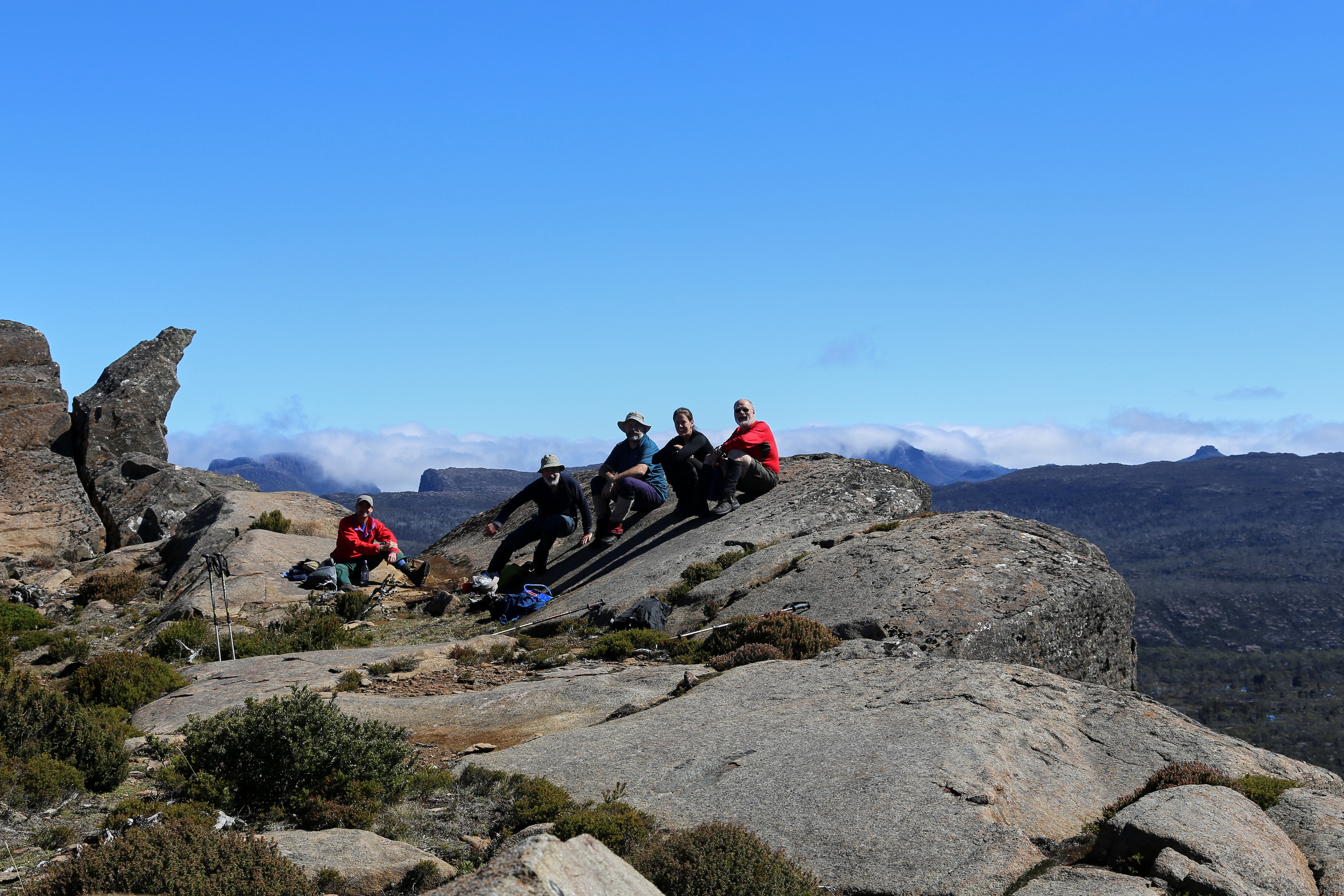
[Friends share special times on Solomons Throne]

The peak is not the highest in the park, nor is it the most difficult to ascend. What make it sit so sweetly in my memory is a combination of my experiences here, and the superb vistas from the top. I’ve been up there in thick snow, and relished views outward towards a snow-bound Overland Track, and inward to the nearby pine-fringed lakes and vales. I’ve been there with family, introducing them to the wonders of our wilds. I’ve been there with friends (many times); with first-time walkers; and with international visitors who thought Australia didn’t have mountains. While I will certainly tire during the steep climb up a rocky chute to the peak, I will never tire of sitting on the Throne.


[Looking towards the Overland Track from Solomons Throne ... click to enlarge]


2) The upper Mersey River roughly marks one edge of the Central Plateau. The Mersey Forest Rd also gives good access to one of the sweetest spots on the western side of the plateau: Mount Rogoona. I first heard about this mountain during the 1980s. A group I walked with had been planning a trip there, but a major fire burned out much of the track and surrounding areas, so we walked elsewhere. It wasn’t until nearly 20 years later that I finally reached that peak.


[Mount Rogoona from Lake Myrtle]

And what a peak! It sits, sphinx-like, above the waters of Lake Myrtle, its knobby summit giving way to dolerite cliffs that are like a younger, smaller sibling of the Organ Pipes of kunanyi/Mt Wellington. For most visits to Rogoona, Lake Myrtle is the most convenient camping spot. However direct access to the peak is not easy from the lake. I found this out – in reverse – when a few of us decided to return from the summit direct to the lake. I would not recommend it! Rather the track between Lake Myrtle and Lake Meston leads to an easier slant-wise route to the mountain.


[Summit Views from Mount Rogoona]

Rogoona is essentially a small plateau whose summit is near the sheer dolerite cliffs on its north-western edge. So the views from the top are as vast as they are stunning. Steeply beneath and quite nearby is the tranquil Lake Myrtle. But your eye soon wanders west beyond the lake, over the nearby Cathedral Plateau, to the highest mountains of Tasmania, from Mt Pelion East to Mt Ossa and numerous others further south. 


Not once, but twice I’ve had that view ‘interrupted’ by a wedge-tailed eagle flying over. I’ve written in more detail here Eagle, but suffice it to say that being buzzed and eye-balled by the largest raptor in Australia is one of the greatest privileges of being in remote Tasmania. 


[Close encounter with the Rogoona Eagle]

After you’ve had that kind of mind-bending, time-stretching summit visit, there are few better places to sit and contemplate it than by the shores of Lake Myrtle. I’ve written about one particular experience here Myrtle 1, here Myrtle 2, and here Myrtle 3.


3) If the preceding ‘happy places’ would be easy to locate, the third is deliberately vague. Un-named Lakes and Pencil Pine Groves is a category of smultronställe that invites you to do your own explorations; make your own discoveries. And there could be few better places to wander in search of lakes and pencil pine groves than the Central Plateau. 


I once started the eye-watering job of trying to count the number of lakes just on the 1:25 000 Ada map. I gave up after counting 350 in one typical 10 sq km strip. Given there were 19 such strips still to count, it’d be fair to estimate between 5 000 and 7 000 lakes on the Ada map alone.


[So many lakes! A small part of the Central Plateau]


Obviously the number of lakes alone makes searching the plateau for sweet spots a lifelong task. But once the search begins, it becomes more subtle than you’d think. Lakes mean water, and many lakes mean a lot of water. That in turn means often waterlogged ground, and camping in such places isn’t much fun – not to mention the impacts it can have on that environment. In my Central Plateau wanderings I’ve seen many spots that looked great from a distance, but turned out to be unsuitably sodden once you got there and looked for tent spots. 


Happy Place searchers also have to consider another weather factor apart from precipitation, and that’s wind. The often fierce winds here further narrow your camping options. What may be a perfect site on a calm night can turn perilous when the wind gets up. Shelter is paramount, which is why pencil pines are often your friend. But there are complications here too. Many pencil pine groves are so dense that there’s no room for tents. And if there is room, the ground is often covered in dense, soggy sphagnum and/or gnarled tree roots. 


[Boots off and relaxing at a secret campsite]

 So … have I found some ‘Goldilocks Zone’ campsites on the Central Plateau? Of course I have. And I’ve spent some of my most blissful days and nights between a lake and some pencil pines. Am I going to share their locations here? Sorry, I’m not. What I can say is that if you haven’t searched for your own version, then you have a baffling, frustrating, but ultimately sublime quest ahead of you. If you have found such sites - or you recognise some of the ones pictured - I’d suggest you share that information sparingly. Let others have the thrill of the quest. Some places just shouldn’t be on Instagram.


[Does wild camping come any better than this?]

Tuesday, 25 June 2019

The Secret Highlands 2: Broken and Ugly


In the chill of the morning, while some of us were pulling sleeping bag hoods around our ears, Libby was up getting the fire started. The night before we’d decided there was no urgency about getting going in the morning. That, at least, was my excuse for staying à bed. But the warm flicker of flames that lit the hut proved the ultimate in gentle alarm clocks. How we humans are drawn to the flames!


[Drawn to the Flames!] 
After brekky we were in Tim’s hands. He suggested we pack lunch and head south, towards the February Plains. We were keen to explore this undulating plateau, with its grandstand views over Cradle Mountain National Park to the west, and the Walls of Jerusalem National Park to the east. But there was still cloud about, and views might be better with the clearer weather that was forecast for tomorrow. Besides, Tim’s agenda for today had a touch of the train-spotter about it.

In 1895, E.G. Innes and team had surveyed and cut a potential rail route between Mole Creek in the north and Rosebery in the west. Although the railway line never eventuated, some parts of his cut route can still be seen, including on a section of the Overland Track west of the Pelion Plains.


[Across the plains, with fire aftermath around us] 
Innes’ official report spoke of the landscape near here as “broken, ugly country”. After reaching what he called the Mackenzie Plain – probably part the February Plains – he “turned again south …. (and) skirted the side of the hill at an easy grade, through a country covered with a dense growth of myrtle and pepper tree.

Tim was keen to find evidence of Innes’ Track, especially where it “skirted the side of the hill”. Innes had presumably tried to take a line below and to the east of the highest country in order to avoid the worst of the weather that can lash this area.

So after walking south for a short while, we swung east and began to wander up a broad, open valley. The only thing remotely “broken” or “ugly” about it was the widespread fire damage from the Mersey Forest fires of summer 2016. There was stark burned forest on the valley fringes; burned scrub and buttongrass in the valley floor; even cracked and blackened rocks. The same fires had burned east around Lake Mackenzie and the Blue Peaks, and south-east through parts of the Mersey highlands. They were started by dry lightning, a phenomenon thought to be one of the local outcomes of climate change. I’ve written about these fires here http://www.naturescribe.com/2016/02/a-tasmanian-catastrophe.html

As we neared the edge of the upland, we began to get partial views east across the deep Mersey Valley towards Clumner Bluff and the Walls of Jerusalem. Tim had marked on his GPS that this was where we might find traces of Innes’ work. The fires had made our search both easier and harder: easier because we could see further, and walk more easily through the fire-cleared undergrowth; harder because many windfall trees blocked our way and obscured the kind of evidence we were searching for.


[Searching for Innes Track] 
After a couple of hours of off-track scrambling, we admitted defeat. We’d seen hints of cut lines, but nothing that was continuous and unambiguous. For our troubles we were sweaty and blackened, so we sought the compensations of lunch and a view on a high rocky knoll. We scored better. A large wedge-tailed eagle graced us with its presence as we ate. It perched for some time in a bare tree just above us, then took off, circling above for a final look. In its honour we dubbed our lunch hill “Eagle Rock”.


[A wedge-tailed eagle at "Eagle Rock"] 
We decided we’d return to the hut a different way, just for variety, but managed to collect even more scratches and black stripes from having to push through thick burned scrub. It had been two and a half years since the major fire here, yet there were only glimpses of good recovery. The cliché that all Australian bush was made to burn, and recovers well from burning, looked far from true up here in the sub-alpine zone.

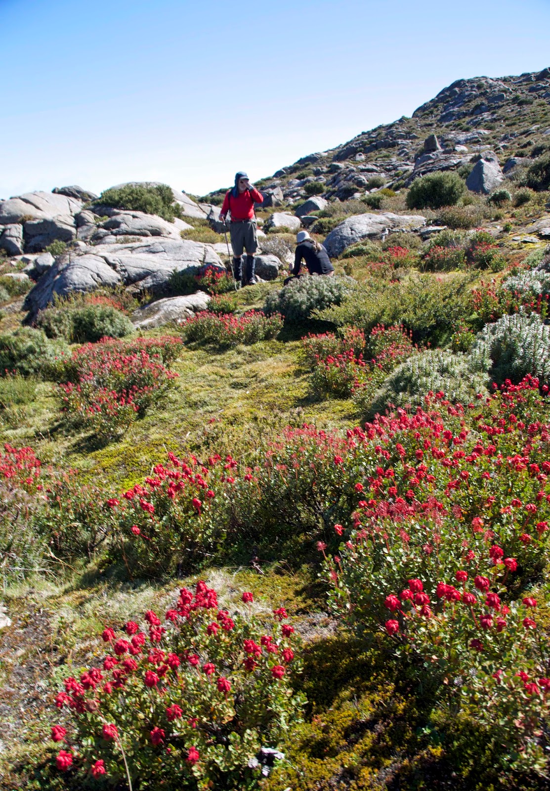
Wildflowers were fairing best, taking advantage of the increased light, decreased competition, and a bed of ash for germination. Orange everlasting flowers (Xerochrysum subundulatum) particularly stood out against the blackened trees. Some of the eucalypts and other alpine trees showed only sparse and sporadic regeneration. Many trees stood stark and dead. But we were surprised at one point to find a clump of myrtle beech (Nothofagus cunninghamii) shooting from the base of their burned trunks. I’d heard they could survive light fire by sprouting from basal epicormic shoots, but this was the first time I’d seen it. Presumably the fire was less severe in the wet lee of the hill where we found them.


[Orange Everlasting flowers thriving after fire] 
Our via the cape return trip ended mid afternoon, in time for us to collect more firewood. It promised to be a cold night, so the fire would be very welcome. But alongside our anticipation of a good fire, we felt a strong sense of irony. We’d seen some of the dreadful havoc that fire could wreak in this alpine country. And we knew too that the various types of human-caused fire – whether through deliberate ignition, or anthropogenic climate change events like dry lightning – had burned out acres of beautiful flora up here, and especially large stands of superb pencil pine. It’s hard to shake the feeling that fire will continue to push some of these species to a brink that would be truly “broken” and “ugly”.

Sunday, 26 April 2015

Four Lakes and a Mountain: Part 4

If the weather is going to relent, we’re hoping it will be today. Today we plan to climb Mt Rogoona on our way over to Lake Myrtle. It’s our only mountain for this trip. And while we’re putting in weather requests, we’d quite like it to stay fine for our night by the lake shore. It is a sublime place, but certainly at its best when the weather is calm and kind.


[Climbing Mt Rogoona: It's not always like this Long John!]

We wake to an overcast sky. At least it isn’t raining, and hasn’t since early evening. These are hopeful signs. Then as we finish up breakfast, the grey clouds yawn and stretch, and quite soon they’re taking their leave.

With new optimism we slather on sunscreen, shoulder our packs and step outside to start the uphill climb. The sun strikes the still-wet shingle roof of the hut and generates a swirl of steam. By the time we reach the high point of the saddle we’re doing the same. There we drop our full packs, swig some water, and put essentials into day packs. From here it’s off-track and uphill to the summit of Mt Rogoona.

The contrast to our previous days is stark. The rain has been routed, with just a few wisps of cloud clinging to the mountain tops. The sky is an intense cerulean blue, and there is barely a murmur of wind. It would be churlish to complain about the hot climb, but we do have to work hard to gain the summit. If we needed encouragement the intricate alpine gardens, miniature tarns and dappled slabs of dolerite are an ever-varying delight.


[A mountain rocket garden on the slopes of Rogoona]

Rogoona’s is a summit I will never tire of visiting. The views stretch from tonight’s lakeside campsite far below us to the distant peaks of the Overland Track: the Pelions, the DuCanes and even Mt Olympus. As we stand on the sharp-edged summit, Long John and Libby, first time visitors here, are slack jawed, overawed.


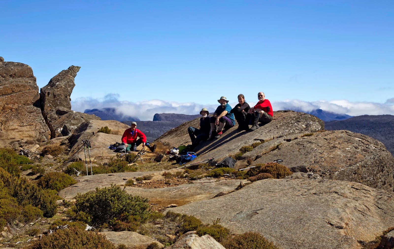
[Group bliss on Mt Rogoona] 

Tim, Jim and I are enjoying it afresh, and also reminiscing about earlier visits to the summit. For the three of us a previous highlight was a close encounter with a young wedge-tailed eagle, which had “buzzed” us several times. As we settle down to today’s mountain-top lunch, a shadow falls across our improvised table. The eagle – or another eagle – is back!


[Close encounters with a wedge-tailed eagle]

Can there be such a thing as calm panic? If there is we approximate it, letting out gasps of awe, scrambling for our cameras, and doing our best to take in these brief moments in whatever way we can. The eagle flies directly over us, less than 10 metres above our heads, glides silently away, then circles back a few times. It has striking eye-like markings on the underside of each wing. It’s as though there are four eyes watching us.

Of course the eagle is just doing what comes naturally to a top predator. It is checking to see what is happening in its range. We could represent food, or possibly threat. For us, seeing an eagle at close quarters is anything but business-as-usual. The Tasmanian wedge-tailed eagle (Aquila audax fleayii) is Australia’s largest bird of prey. It is a larger and heavier sub-species of the mainland wedge-tailed eagle, and has a wing-span of more than two metres. It is among the royalty of birds, world-wide, and we feel deeply privileged to be allowed such an audience. We had merely asked for a fine day on the summit. What kind of excess is this?!

After a few minutes the raptor drifts off westward, and is soon just a dark crease in the blue sky over the Du Cane Range. We return to the banalities of eating and taking group photos, but can’t resist talking about this epiphany all the way back to our packs. Even as we set up beside the still waters of Lake Myrtle, cradled beneath the now more distant peak of Rogoona, we’re reminded afresh of that visitation on the mount.


[Evening reflections, Lake Myrtle with Mt Rogoona]

If our hopes for a perfect, calm evening at the lake are realised, the wee hours bring a return to our earlier weather. In the morning we pack up slowly in persistent rain. It may be inconvenient, uncomfortable even, but having just experienced Rogoona/Myrtle perfection, it’s water off a duck’s back.


We follow a lesser-known route down from the lake to our cars. It is steep and wet, and the leeches make a spectacular comeback, keeping our stops to a minimum. But that’s fine, as we’re on a mission to get the Christmas Hills Raspberry Farm in time for lunch. Our bodies have worked hard, our souls have been filled to overflowing. Now it’s time for some hot food!

Sunday, 19 May 2013

Moving Feet, Bending Time

I am no wizard. Yet sometimes I seem able to bend time, to tame it momentarily. It rarely happens in my everyday existence. There time is a wild and unruly beast, predictable only in its relentless movement in the one direction.

Along the way it gorges itself on busy-nesses of every kind. I hang on, dizzy, ill even, from its mad rush. There’s a name for that malady – “hurry sickness” – and many of us suffer from it. Even so, we remain addicted to what rushing promises, like the possibility of doing twenty things at once.

So how is it that I came to bend time? Quite simply, I walked. Somewhere along my varied journey, I discovered that moving feet can bend time. Typically if I was doing many things, or none, time would fly by. But in doing just the one thing – particularly this one – I experienced an unaccountable staunching of time’s flow, even an expansion in its quantity and quality.


[A sublime summit moment: Mt Rogoona, Tasmania] 

A Scene: Somewhere in Tasmania

I’m not sure of the hour, it’s probably late morning. There is a cold wind blowing over the small rise between last night’s campsite and our next. We leave the track as we sense – or guess – that our summit route is this way. We drop our heavy packs, put essentials in our day packs, and scramble to the west, mostly up.

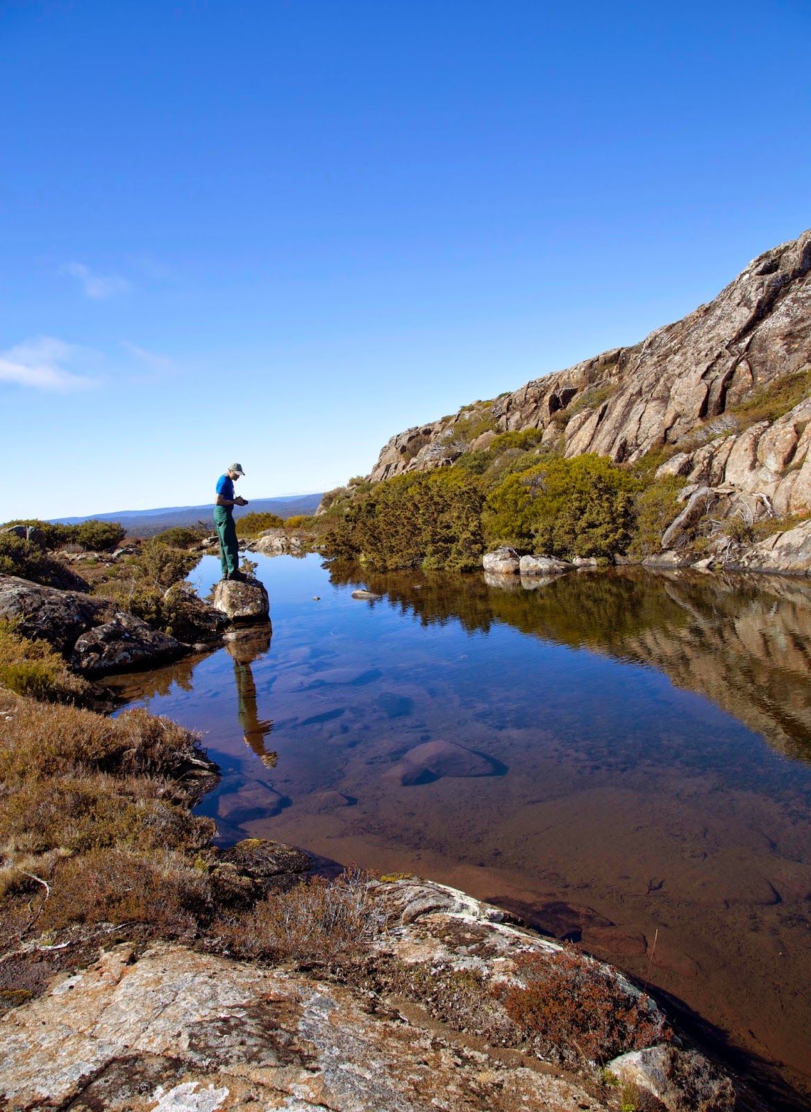
There is no track, so we spread out, each picking his or her own way over the rocky terrain. One avoids a thick patch of bush to the left; another to the right. A third stops to examine wildflowers, another presses on. I pause at a small rocky pool, an exquisite tarn-in-miniature. It sits beneath its own doleritic micro-mountains, surrounded by its own micro-forest of sphagnum, pineapple grass and mountain rocket.


[A pool beneath the summit of Mt Rogoona] 

As we grip and grunt our way over grainy, rocky slopes, we slowly pull closer to the high point. After a final sharp scramble, we are there: standing on Mt Rogoona’s summit. The clouds clear, the wheel of the world turns more slowly. We see everything it is possible to see from here.

And more. A wedge-tailed eagle swoops by. It pauses, wobbling imperfectly, almost clumsily, at our eye level. Its tail feathers are a little ragged, not yet fully grown. Is it young, trying out new-found skills? We exchange close, enthralled looks with the raptor.


[A Tasmanian wedge-tailed eagle above Mt Rogoona]

Without effort it lifts on an updraft, drifts away. We exchange a few inadequate superlatives, turn to the stunning view, start to pose for photographs. The eagle circles back for another look. Four, five times more the eagle circles, finally satisfying its curiosity – if not ours – before soaring away. How long this has taken I have no idea.

Doing less, yet gaining more: that’s surely a paradox. And as with most such, it tends to fall apart under analysis. Yet how else to explain the high count of solid, vivid memories that I associate with the simple act of bushwalking? Are they like other moments of intensity – love-making, childbirth, peer acclaim, serious illness, the loss of a loved-one – that can suspend the usual laws of time? Does walking seriously rank alongside those other life landmarks?

The online bushwalking forum, Bushwalk Australia, has an active thread with this question: “What does bushwalking mean to you spiritually?” See http://bushwalk.com/forum/viewtopic.php?f=5&t=10226 The thread has been active for nearly a year, and has attracted a wide diversity of opinion. But even the question alone intrigues me, because I have come to see bushwalking as in part “spiritual”. That is, it has spiritual benefits. That’s not to deny physical, biological or psychological benefits. (Not that I draw sharp distinctions between such categories: we are complex, multi-faceted creatures, after all.) But I have come to see bushwalking as having a spiritual side.


 [Good for your soul as well as your soles]
Japanese theologian Kosuke Koyama makes some tantalisingly grand claims for walking. He says that our normal walking speed is in fact the speed of love, and thus the speed of God. He references that to the Bible story of God walking with the Israelites through their 40 years in the wilderness.

“Love has its speed. It is an inner speed . . . a different kind of speed from the technological speed to which we are accustomed. It is ‘slow’ yet it is lord over all other speed since it is the speed of love. It goes on in the depth of our life, whether we notice it or not, at three miles an hour. It is the speed we walk and therefore it is the speed the love of God walks.” (from Three Mile an Hour God)

If walking is deeply ingrained in our spirit – that part of us that seems capable of by-passing time – then it may start to explain why time sometimes seems to wobble when we don our boots.