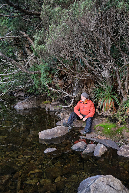
Q: When is a blue sky not blue? A: When you’re deep in the shade of a forested valley, head down, scrambling to get ready while most others are impatient to leave. The first time I lifted my eyes that morning was when Tim D informed us it was sunny, and would soon be warm. And sure enough, above the thickly tangled myrtle branches, I found that the sky was indeed blue.
 |
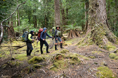
[Are You Ready Yet?] |
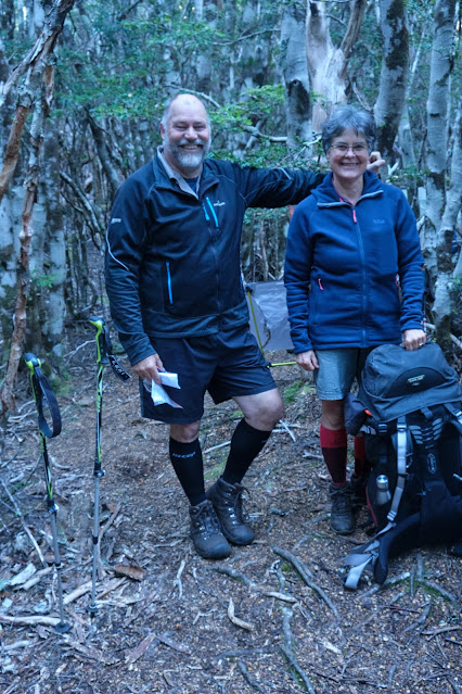
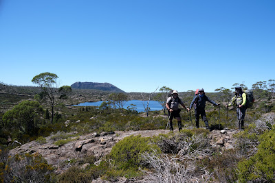
The climb out of the Chapter Lake/Grail Falls valley onto the Cathedral Plateau was hardly less steep than if we’d clambered up the falls themselves, though at least we weren’t contending with falling water. It was a full body work out: hands, arms, legs, lungs, heart and mind all toiling to haul us, full packs and all, onto the plateau. But the exertions were over soon enough, and we took a welcome breather on the rock shelf above the falls enjoying the commanding view over Chapter Lake. And yes, it was sunny and warm.
 |
| [Above Grail Falls and Chapter Lake] |
We still had some work to do, pushing through, up and around the persistent rocky scrub beside Moses Creek. Beyond that we got our first glimpses of a glittering Chalice Lake, a sign we’d arrived on the Cathedral Plateau proper. Perhaps my brain was overheated from the climb, but as I surveyed this many-armed lake, I imagined it as some vast aquatic creature, its tentacles reaching out to harvest the water from higher ground surrounding it.
We paused for a water and scroggin near the end of the lake, recalling that we’d once camped here. Back then it was a necessary compromise camp site; today its soggy, open, unshaded nature held little appeal. Besides it was only 11am, and the pencil pine forests of Tent Tarn were calling.
 |
| [Above Chalice Lake, Mt Rogoona in background] |
After a little more climbing we arrived at that much smaller and shallower lake. Before choosing our tent sites, a few of us wandered around the perimeter of the lake, seeing if there was a better camping place. Half an hour later we returned to our original place among the pencil pines, convinced that after all this was the perfect place to base ourselves for the next few days and nights.
By the time we’d set up our tents and gathered water, it was still early in the afternoon. But few of us had the appetite for anything more strenuous than a local wander. Some tried out reflection photography around the shores of the tarn; others washed the sweat of the day from their bodies.
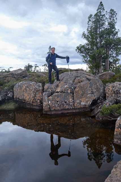 |
| [TimO reflected in Tent Tarn] |
And then it was time to relax, have a brew, and ponder some interesting questions together. Why, for instance, were the pencil pines here so prolific? And why were so few of them burned in comparison with nearby places like The Walls of Jerusalem and the Central Plateau? It occurred to me that this cliff-guarded plateau had probably never seen cattle or other hard hooved animals, and therefore the kind of human-initiated burning that historically went with that activity. Certainly we couldn’t think of any accessible way to bring stock up here, making it a kind of land-that-time-forgot. After a good social time over dinner, we dispersed to our tents for an early night.
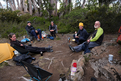 |
| [Relaxing at Tent Tarn] |
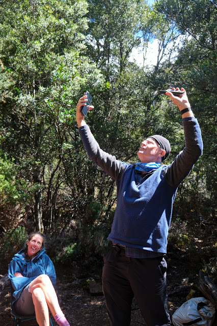
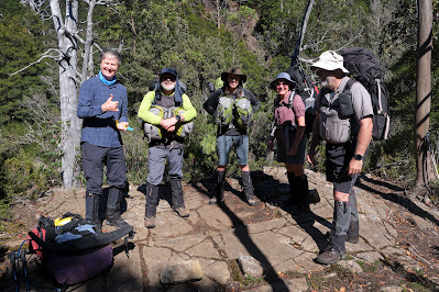
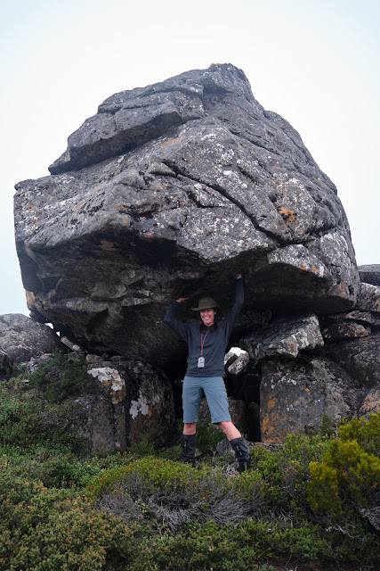
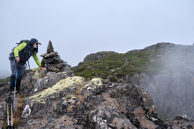
We woke to find a thick mist smothering the plateau. We judged that it would burn off soon enough, so we carried on with our plan to climb Bishop Peak, one of the prominent peaks on the plateau’s western edge. As our route was off-track, the mist wasn’t going to hide any track markers. Besides we had confidence in Tim D’s navigation skills. Before we reached the edge we paused at a strange rock formation, which Tim’s device said was Bishops Mitre. The somewhat curved pyramidal rock looked more like a troll’s head than a bishop’s ceremonial hat, but who were we to criticize an explorer’s fevered imaginings? We paused for the obligatory silly photos before pushing on to the 1378m Bishop Peak.
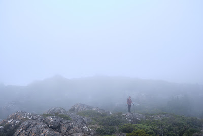 |
| [Merran in the Mist near Bishop Peak] |
 |
| [Libby obliges at Bishops Mitre] |
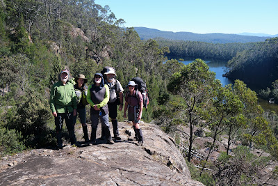
Our hoped-for lift hadn’t arrived, so the views were misty, mystical even, as swirling cloud hit the plateau’s edge, obscuring the abyssal 800m plunge to the Mersey River which flowed between us and the Overland Track. Not to be put off we meandered north-east, a little back from the edge, towards a small tarn. From there we aimed for Curate Bluff. Appropriately less grand than the Bishop, and 100m lower in altitude, it still promised a grand view, especially as the clouds were now beginning to thin.
 |
| [Jim peers into the misty void from Bishop Peak] |
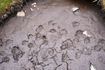 |
| [Evidence of a wombat dance party near the unnamed tarn?] |
But first we had to wade through some scoparia, never much fun. That done, we scrambled to the top and were rewarded with broad views over the whole range of mountains along the Overland Track. Somewhere north of Pelion I knew my son Stuart was out running as a “sweeper” in the Cradle Mountain Run, a trail running event that sees its leading runners complete the whole 80km Overland Track in less than 8 hours. Stuart’s job was to escort tardy or injured runners back from New Pelion Hut to an early exit via the Arm River.
Closer to home, I soon realized I’d be performing a similar role. Tim D planned to continue on to Vicar Bluff and then Dean Bluff, and had given us an estimate that would have seen us back at Tent Tarn quite late. Jim, already low on energy, wasn’t as keen as the others to do that, so I agreed to join him in returning to home base. For a while the two of us watched as the others receded to ant-like proportions on their scrubby meander towards the distant goal. And then we turned and did our own bit of off-track wandering, up, along, and then steeply down to Tent Tarn.
 |
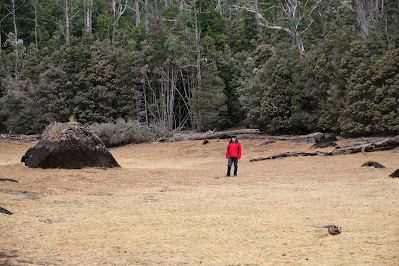
[The water supply replenished] |
By the time we’d pushed our way through the scratchy scrub that eventually gave way to our campsite, we were hot and sweaty. Water collection and a wash were the first order of business, followed by a welcome sit down and a brew. We’d only been sitting for a hour or so when we were surprised to hear coo-eees from the slopes above us. We could just make out Libby waving both arms from a far rock clearing. We were amazed they’d made such good time, although we (rightly) estimated they’d still take another half an hour to get down.
It seems Tim D had overestimated how long the return trudge to Deans Bluff would take. Regardless the four returnees all agreed on two things. Firstly that the views from the bluff had been stunning; and secondly that they were knackered. Merran demonstrated this by having a quiet snooze in her Helinox chair shortly afterwards.
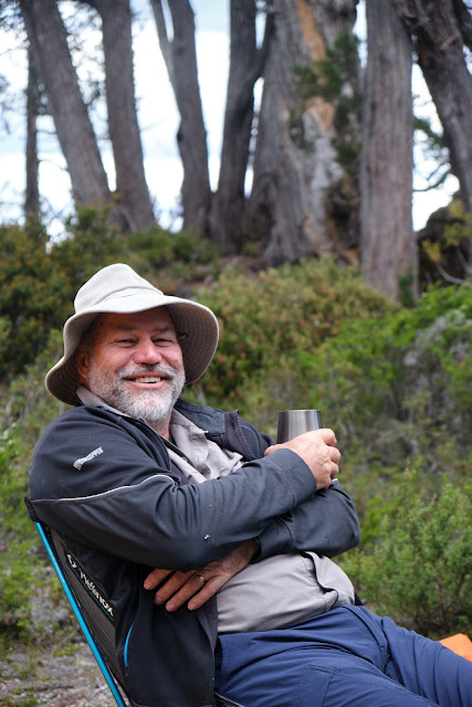 |
| [Tim D in relaxation mode at Tent Tarn] |
While she dreamed, I brought up with the others something I’d long wondered about Tent Tarn. Why, in a place where almost every name has an ecclesiastical connotation, had this tarn ended up with such a plain-Jane name? Was it simply a pragmatic name: this is a tarn where tents can be put up with some shelter? That made some sense, but I put forward a slightly more theological thought.
The Old Testament tells us that prior to the temple being built in Jerusalem, the Israelites carried a portable tent known as the tabernacle. This symbolised the presence of God, and provided a place of meeting and worship. Was it possible some Bible savvy place-namer had slipped in this obscure reference as a kind of curve-ball name to (almost) go along with the more obvious church-based names? The others were doubtful about that. If that was their intention, why not name it Tabernacle Tarn? Even then, Tim D pointed out, that would make it an Old Testament name, when all the others – Cathedral, Bishop, Dean, Spires, Chalice, Chapter, Cloister, Grail etc – were New Testament or mediaeval names.
I had to concede that he had a point. After a bit more banter we all eventually retired to our tents. But my mind wasn’t done for the day. It began spiralling beyond nomenclature to higher thoughts. A cathedral, I guess, was supposed to be major centre of worship, a place to inspire both awe and worshipful devotion.
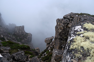 |
[Awe seems an appropriate response to scenes like this at Bishop Peak] |
But before Cathedrals, before even churches or temples, there had been that simple tent. And as I settled into my own modern version of one, I realised that grand architecture wasn’t necessary for us to experience awe, or to be worshipful. Here, in this sublime place, surrounded by favourite trees, and favourite people, awe and worship seemed a natural response.