Sunday 31 May 2015

Freycinet Experiences 4: Egotourists

A favourite cartoon of mine has a man in a pith helmet arriving for a bush holiday. Its heading says “Egotourism”, and the helmeted man is commanding those around him: “Tell the wildlife I have arrived!

This comes to mind on the final morning of our Freycinet Experience Walk, and not for the first time on the trip. We’re gathered on the beach in front of the lodge for some pre-breakfast stretching exercises. As we finish, no-one is in a hurry to leave. Breakfast can wait as we sit and stare out at the low sun over the ocean. Birds fly over; the waves whisper; the sun scintillates off waters that match the blue sky and raise it a notch or two.


[A pair of pied oystercatchers at the Friendly Beaches] 
I shade my eyes, straining to see what’s happening beyond the waves. As if on cue a pod of dolphins surfaces. I’ve left my camera behind, so I simply take in those moments. We all watch, mesmerised, for several minutes. Yesterday we’d looked through the translucent waves and had seen schools of small fish through the water window. Perhaps these schools were drawing the dolphins.
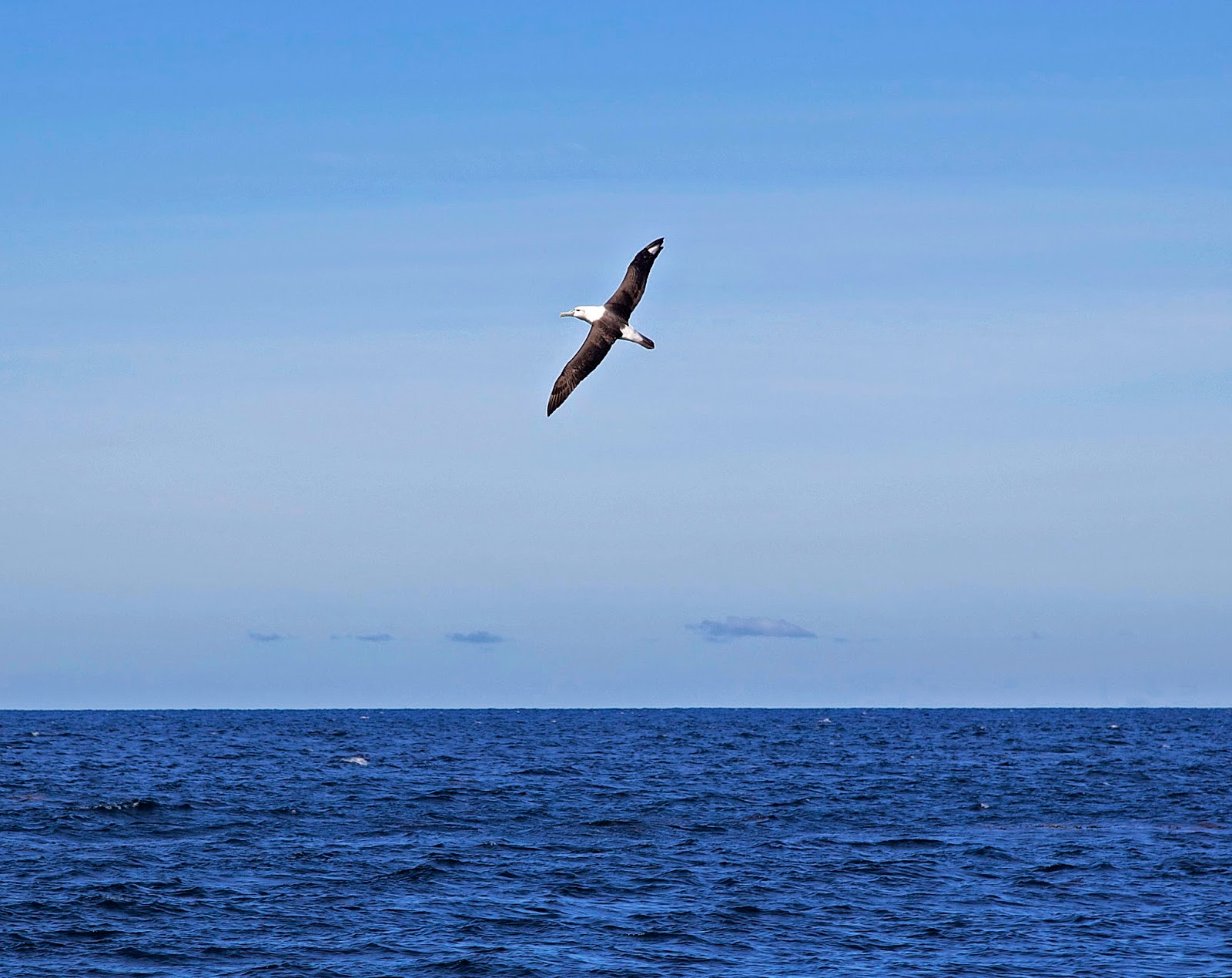
If I were inclined to be an egotourist – and I see tick-lists of species as one form of that – I would have stoked my ego on this trip. I could have counted off dozens of bird species; multiple mammals of both land and sea; raptors and albatrosses that vie for the largest wing span; and fish swimming and jumping – some of them onto our plates!

But today as we pack up and leave, it’s my own species that I will miss the most. Meeting as a group of strangers, we have become friends. We’ve shared jokes and conversations; walks and wordless wonders; wildlife and weather, and those seemingly endless beaches. And, despite plenty of exercise, we’ve also shared a girth increase thanks to some amazing food!


[A group shot on the final morning at the lodge] 
For once breakfast is perfunctory; ‘though we’re promised a sizeable brunch before we have to leave to meet the bus. But first we have to pack our bags and head off to explore the bush property that belongs to the lodge. It’s all but surrounded by national park, nestled beneath hills that are somehow named mountains.

We climb up the ridge that leads towards Mt Peter, but today isn’t a day for mountains, however small. Instead we pause to hear about the property’s history, then share a little more of our own with our walking companions, before we’re on our way downhill towards Saltwater Lagoon.


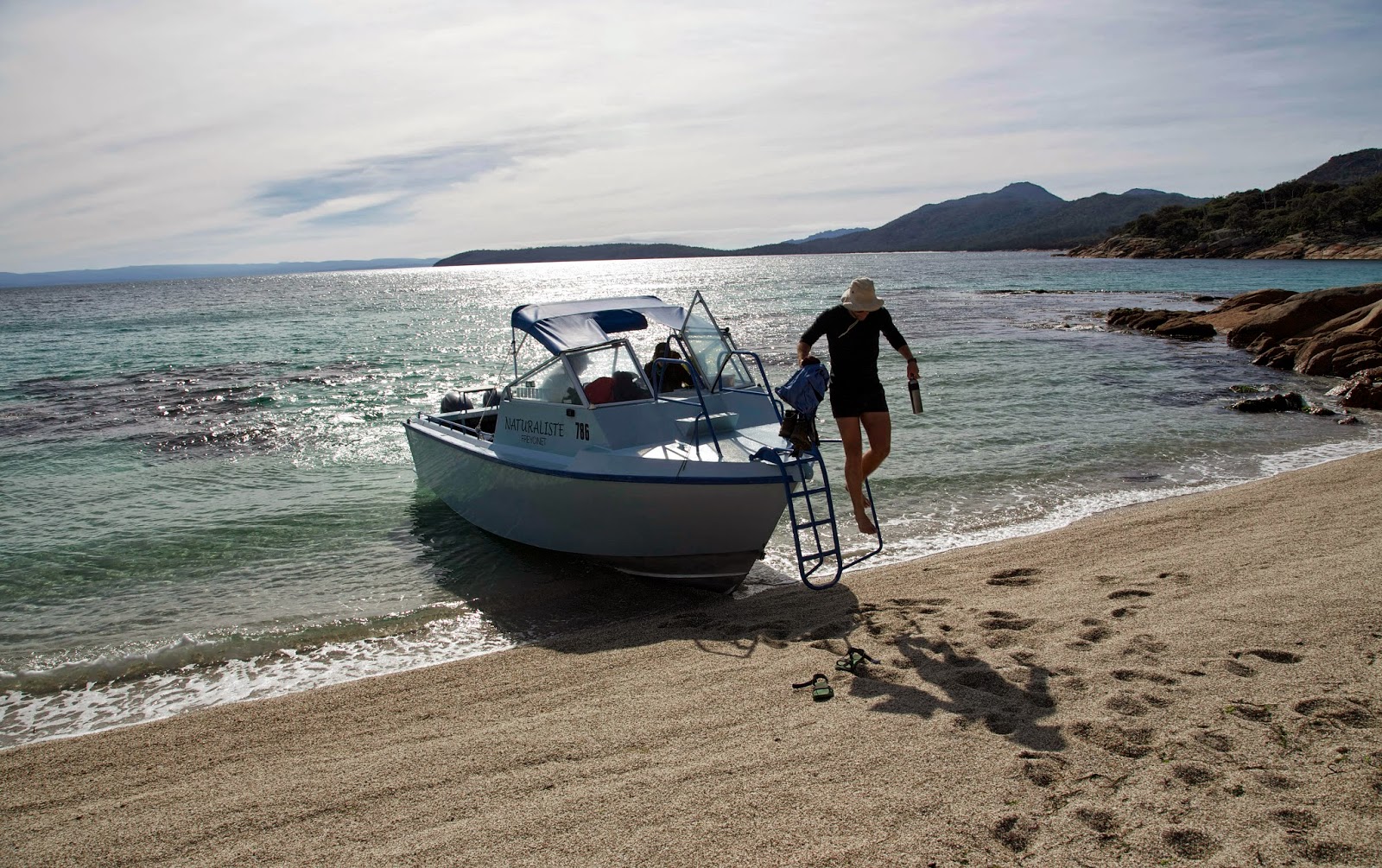
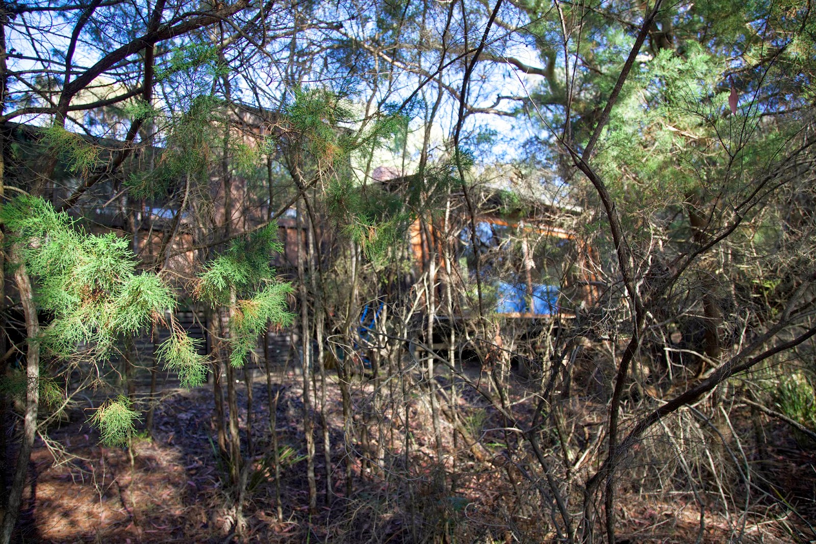
[Another walk along the Friendly Beaches] 
And yes, yet more birds are there waiting for us, including some shy pelicans. If birds had egos, Australian pelicans could boast they were the equal of albatrosses when it came to wingspan. And they’d surely use their enormous bill as a trump card. But thankfully the birds aren’t concerned with such nonsense, and they quietly go about their business.
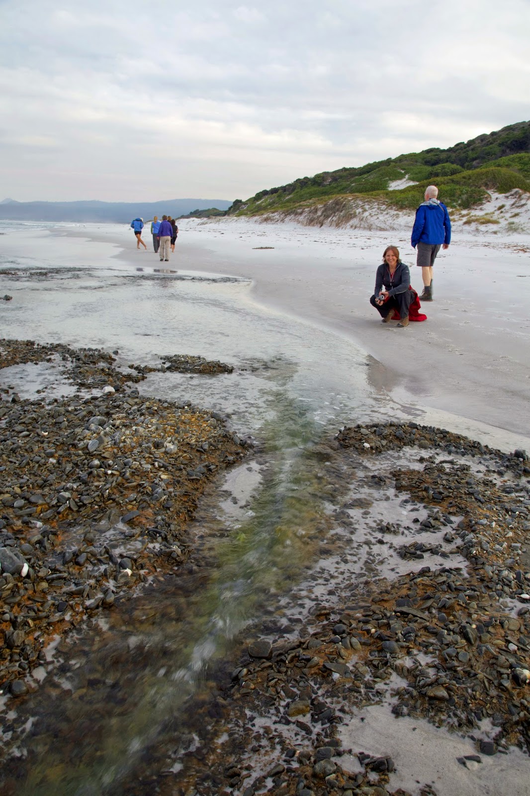
From the lagoon we walk back up the beach, sans shoes, chatting; splashing; taking in the incomparable peace that is the Friendlies in fair weather. From time to time we cast our eyes seaward on the off-chance of seeing more dolphins. Indeed why not hope for whales this time!


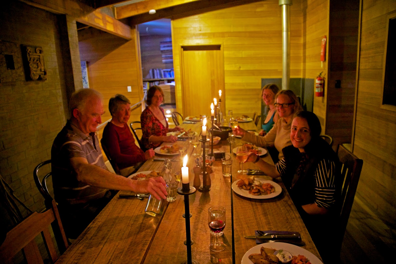
[Hannah and Daniel talk us through the brunch] 
And then we’re back at the lodge, and it’s time for brunch, whether we need sustenance or not. Hannah and Daniel haven’t let us down with any single course yet, and their hand-made pizzas are as amazing as anything they’ve prepared for us.

We dally over the food, not wanting our time to end. But too soon it’s group photograph time. And then we’re stacking our bags for Gil’s minibus and farewelling Eric, Hannah and Daniel, who will stay back at the lodge. The rest of us have one more long, lingering stroll up the Friendly Beaches to Isaacs Point.


[Gil and Jodi share a joke - probably at Eric's expense!] 
There Gil meets us and we’re soon driving out of the Friendlies and back to our various “other” lives. After an experience like this, I hesitate to say it’s “back to reality”. The profound reality of this place will carry on perfectly well without us. We could see that as a threat to our egos. Or we could accept the grace and generosity of the wild, and carry some of its reality with us.

[I walked the Freycinet Peninsula as a guest of Freycinet Experience Walk]

Sunday 24 May 2015

Freycinet Experiences 3: The Path Less Trodden


[Treading lightly on the Friendly Beaches] 
In my family we call it “explorer blood”. It’s the urge to see new places; to choose different routes; to go that little bit further to see what’s over that hill. I have it, my father had it, and his father had it before him. But I didn’t expect it to come into play here, on the Freycinet Peninsula, which feels known to me, tamed even.

Yet as we walk from White Water Wall towards Bluestone Bay, I start to get that old tingling in the blood. It rises as Jodi tells us we’ll be taking a route that is not well known; not often walked. It’s certainly new to me.

We carefully scrub our boots at the bay. We don’t want to be responsible for introducing Phytophthora root rot here. That fungal infection has already killed many susceptible plants in other parts of the national park, and we don’t want to carry it in on any infected mud on our boots.


[Boot scrubbing at Bluestone Bay] 
Overnight it rained, pattering on the roof of our accommodation, lulling us to sleep after our long day of walking. Today it’s cool and windy, and there are still showers about. At the bay we watch a pair of sea kayakers launch into the water. We hope they hug close to the steep cliff-bound shore in these blustery conditions.

As we climb through the bush I imagine how Aboriginal people would have used their rafts along this coast over thousands of years, hunting the seals and sea birds that are still prolific here. We pass a midden which holds clues to other parts of their diet; especially shellfish and marsupials.


[A distant sea kayak near Bluestone Bay ... click image to enlarge]
We’re soon high above the rocky coastline, and looking down on the kayaks, now just small dashes on the corrugated dapple of the sea. It’s exhilarating to be here, like seeing an old friend doing new things in a new context.


[Looking back towards Cape Tourville] 
Most of us take a break at a high point with a view back towards Cape Tourville, but Jodi pushes on to some place she and Eric refer to as “the yellow rock café”. When we finally catch her up we get the joke. Jodi has hooked up a large yellow tarp over an improvised table. An amazing lunch spread covers the “table”, actually a piece of duckboard track. 


[Jodi and Eric at the Yellow Rock Cafe] 
After lunch we start the slow descent towards Freshwater Lagoon, at the southernmost end of the Friendly Beaches. There are old disused tin mines and random exploration digs in the area. Most are now just revegetated holes in the bush, which is thicker here in the sheltered low hills.


[On the descent to Freshwater Lagoon] 
We eventually get back to well trodden paths in the form of an old exploration track. This soon leads us to the coast at Freshwater Lagoon. On the beach we see our first other people of the afternoon: a family playing a game of beach cricket. As though to join in this pretence of summer, Eric and a couple of others go in for a swim. The day is now calm, and the low sun glitters off the ocean as we watch both swimmers and cricketers.


[A chilly dip at the southern end of the Friendly Beaches] 
We still have 3 or 4 km to walk up the beach and back to the Friendly Beaches Lodge, but in these conditions that will hardly be a trial. It’s time for boots off and trousers rolled. That makes me think of T.S. Eliot’s “The Love Song of J. Alfred Prufrock”.

I grow old ... I grow old ...
I shall wear the bottoms of my trousers rolled.

Shall I part my hair behind?   Do I dare to eat a peach?
I shall wear white flannel trousers, and walk upon the beach.
I have heard the mermaids singing, each to each.


[Trousers rolled ... or shorts on for a walk up the Friendlies]  
But my own trousers are neither white nor flannel, and today I feel far less maudlin about ageing than Eliot. If there are mermaids singing today they are just the crested terns which pose and chatter and wheel as we stroll up the beach.


[Crested terns on the Friendly Beaches] 

Sunday 17 May 2015

Freycinet Experiences 2: Rambling Along the Rift

Geology isn’t sexy, or so we’ve been told. Yet show anyone a pure sand beach and a sapphire sea, and you’ve got them, whether or not they recognise the geology behind the appeal.


[Great Oyster Bay from Hazards Beach] 
Our second day on the Freycinet Peninsula doesn’t start like a geology excursion. But as we journey south by boat, I admit to pondering the origins of the great misshapen rectangle that is Great Oyster Bay. And I wonder too why we’re occasionally seeing dolerite. I think of this peninsula as dominated by granite. Why are two rocks of such different origins rubbing up against one another here?

There are more immediate questions first. Today we have a choice: to take the high road or the low road. The former climbs from the northern end of Cooks Beach over 579m Mt Graham, then winds back to Wineglass Bay. The latter starts south of Cooks Beach, and follows the western coastline of the peninsula to Hazards Beach. From there it’s over the low-level Isthmus Track to Wineglass Bay. Jodi and four others take the high road; Eric, Lynne and I take the low road. And yes, we’ll be in Wineglass ‘afore them!


[On the low road, with the high road in the background] 
The swell is rising as we drop the “high roaders” at the beach. There are some sand-churningly anxious moments before “Shep” extricates the boat from the beach. Minutes later he deposits us in a sea-weedy bay a bit further south, and we start our foot journey north.

Above us to the east are the wooded hills that rise to the granite peaks of Mts Freycinet and Graham. To our west are the dancing blue waters of Great Oyster Bay, and at our feet there’s dolerite – as well as questions that require a geological answer.

It turns out that today we’re walking the eastern rim of a graben. This is a kind of mini rift valley which has dropped relative to the higher blocks (horst) on either side. In the case of Great Oyster Bay, the graben has been inundated by the sea, which now separates one higher block (the Freycinet Peninsula) from another (the hills above Swansea). The rift was a late consequence of the long, complicated pulling apart of the super-continent of Gondwana. This began around 200 million years ago, and precipitated the injection of huge quantities of dolerite beneath what is now Tasmania. The graben probably formed closer to the period in which Tasmania finally tore away from Antarctica, around 65 million years ago.


[She-oak woodland, Freycinet Peninsula] 
As well as pulling blocks apart, these earth movements rotated and twisted the pre-existing rocks. Older granites, which had formed a huge sub-surface bubble around 400 million years ago, were brought to the surface here. The tearing apart also caught up some younger dolerite on the Freycinet side of the rift.

What remains today is a predominantly granite peninsula – albeit with dolerite and sedimentary remnants – separated from a predominantly dolerite eastern Tasmania.

If I seem to have strayed a little too far from white sands and blue seas, let me return to them. The beaches and the sea we’re walking beside simply wouldn’t be that colour without the slowly eroding pure quartz that’s derived from the granite. Other rock types usually contain fine-grained (ie muddy) elements. This granite has very few impurities to cloud the water, resulting in a rare, translucent clarity. And of course the beaches couldn’t be here without a graben deep enough to allow ocean inundation.


[Approaching Hazards Beach] 
Knowledge of these geological coincidences may not add to every walker’s enjoyment of this place, but it does enlarge my appreciation of a superb day in a rare landscape. So too does the fact that we can amble, knowing we have ample time to make our Wineglass Bay rendezvous with the other group. We pause for coffee, take way too many photographs, enjoy a swim (in my case a very brief one) and take the time to exchange bits of our life story. We also ponder millennia of Aboriginal presence along this coast as we come across some of the many shell middens that dot the area.


[An Aboriginal shell midden, Freycinet Peninsula] 
Despite our leisurely pace, we reach Wineglass in time for a long and restful lunch. After the almost deserted western side, the bay is very busy. Groups, couples, individuals spread out and take up their own little bit of this paradise.


[The "high roaders" return along Wineglass Bay] 
Lynne and I find a driftwood log in the sun, and settle down to wait for the “high roaders”. When they get back we gather ‘round each other like a happy pack of dogs, keen to share news of the day. But there’s rain forecast, and Gil and his bus are waiting for us back at the carpark, so Jodi gently urges us to talk while we walk. After a day like this, try to stop us!
 

[Just beating the rain back to the carpark] 

Sunday 3 May 2015

Freycinet Experiences 1: Schouten Island

There are moments on the drive between Hobart and Coles Bay in which the whole length of the Freycinet Peninsula is laid out before you. On a fine, clear morning we stop at Spiky Beach to take it all in, along with some morning tea.

Across the blue waters of Great Oyster Bay – a broad inundated gulf between the east coast and the outlying peninsula – we gaze out at what could be a cross-section model of our next four days’ walking terrain. To the south is fist-shaped Schouten Island, itself a small study of the whole rumpled granitic peninsula to its north. Eric shows us where we will be walking, naming hills and beaches, mountains and bays that we’ll soon be seeing close up.


[Aboard the Naturaliste in Coles Bay] 
Within the hour mini-bus driver Gil delivers us to the Coles Bay jetty, where we meet Shep, the coxswain of the Naturaliste. Once we’re aboard he speeds us expertly down the bay towards Schouten Island. We cruise beneath the granite peaks known as The Hazards, then round Fleurieu Point before pausing alongside Refuge Island. Shep points out a white-bellied sea eagle perched atop the low island.

As we near Schouten Island he detours through Schouten Passage, an often rough stretch of water separating the island from the rest of the peninsula. The wide, wild Tasman Sea funnels through the passage to meet Great Oyster Bay. These are rich waters for anyone interested in fish, and we’re soon among plunging gannets, wheeling albatrosses and playful seals. It’s also a place frequented by whales. We turn around next to Slaughterhouse Bay, where southern right whales were once butchered.


[An albatross in Schouten Passage] 
In these more peaceful times, whales can again be seen here, especially during winter and spring. The calmer waters of Great Oyster Bay have always made an ideal nursery and creche for whales pausing on their migratory journey north. I once joined a park ranger as he monitored a mother and calf passing through Schouten Passage. He was supposed to make sure no boats got too close to the whales, but we both knew it was really a work “jolly”.

We land at Crocketts Bay on Schouten in time for lunch. But first Eric has to plunge in for a swim. Two others join him, ‘though the rest of us are dubious about his claim that the water is warm. We’re keener on the post-lunch amble up nearby Bear Hill. But before that we let the island’s extraordinary tranquility seep in. Wavelets lap and shush on the sandy shore; birds call or lollop past; the sun glimmers off the water. We’ve all come from busy places, and welcome this chance to tune in to island time.


[Eric jumps ashore on Schouten Island] 
While most of us set off for Bear Hill, Jodi joins Shep on a fishing trip in the Naturaliste. Our dinner seems to be at stake, and there’s banter between Jodi and Eric. Apparently it’ll be baked beans for all of us if Jodi isn’t successful in the flathead hunt. As with Eric’s estimation of water temperatures, we suspect this isn’t to be taken too seriously.

Bear Hill is bare indeed, so we puzzle at the spelling. There’s not time to reach the very top (mustn’t let the baked beans spoil!) But we do have a good drink stop on a wide slab of granite high above the waters. We breathe in the expansive views and try to make out the Naturaliste, but it’s not until we’re on our way back that we see and hear it returning across the bay.


[Views from Bear Hill, Schouten Island] 
The boat and we walkers arrive back at our beach almost simultaneously. Jodi is smiling broadly from the deck, and calling out “23!” Apparently we will be eating fish tonight after all.

Shep gets us back to the jetty in good time, and we’re soon back aboard Gil’s mini-bus. Hearing about Jodi’s haul he’s keen for his cut of the fish, and “little red hen” type banter is soon being exchanged between the guides and the driver. It seems settled by the time Gil is delivering us to the Friendly Beaches. Jodi takes us through a rough track to the beach, explaining that it’s a 15-20 minutes walk to the lodge. The walk will help us “come into the place” appropriately.


[Nearing the lodge on the Friendly Beaches] 
And again the place does its work on us. The wide empty strand and its brilliant white sand soothe us, and we chat amiably as we wander up the beach. Soon Jodi is guiding us up an indistinct track through the vegetation-covered dunes, and a few minutes later we (just) make out the lodge. It sits discretely within its bushy setting, its wooden structure blending in beautifully.


[What lodge? The Friendly Beaches Lodge is well hidden]
The first thing I notice is the tall candles lighting up the dining table just next to the entrance deck. Almost as glowing are the smiles of Hannah and Daniel, our lodge hosts and chefs. Wafts of wood smoke blend with the smell of cooking as we’re welcomed into this special place. We’re all smiles: this looks like being a special four days.


[Dinner in the lodge, and it's not baked beans!]
[* I walked the Freycinet Peninsula as a guest of The Freycinet Experience Walk]