Showing posts with label Terry Reid. Show all posts

Sunday, 8 February 2015

A Walk in the West: Part 2

[... continuing the Fraser Creek Hut story from last winter]

[Luxuriant West Coast rainforest] 

It’s like the shipping news for bushwalk huts. Always mornings in huts seem to commence with a comparative report on snoring levels. The men – this writer included – seemed to score at least reasonable decibel ratings during the night. But gender equity came into it, with at least one of the women also snoring to measurable levels.

That formality dispensed with, Terry got us up and going by boiling a billy. He had what sounded like a packed program for the day – a couple of waterfalls, a few mines, a bit of off-track walking, and maybe a mountain – so he was keen to get us out there. Since it was all new to most of us, we were happy to be guided by Terry.

The weather was typical west coast: cloudy, showery, with the odd patch of brighter sky. Regardless, even if the rain held off, we would need our rain jackets and overpants. The rainforest’s dripping undergrowth would ensure we’d be soaked within the hour.


[Terry tutors me in King Billy paling splitting] 
At our first stop Terry gave us King Billy pine splitting lessons. Using an adze-like device, with its sharpened edge perpendicular to the handle, he showed how a length of downed pine could be split into palings. We each had a go, surprised at the workability of this beautiful honey-coloured timber.

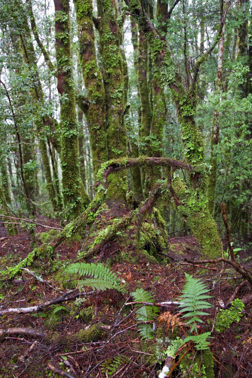
We then continued up through the wet forest to a small clearing, our high point for the day, before continuing across the slope. Soon we were in thick and luxuriant rainforest again, everything a shade of green or hazel.


[In the forest, near our high point] 
We were walking in misty cloud, but had the feeling that empty space was off to our left. Then there was a lift, and we found ourselves staring down the steep and slippery decline that would take us to the Curtin-Davis mine.

An 1895 report on the mine doesn’t exaggerate when it says “the approach to Curtin's tunnel is extremely precipitous”. The writer went on to report "good surface shows" of iron and copper ores, ‘though he was possibly more enthusiastic about the potential for mine operations to harness the copious water of the area.

At the time of my visit to the mine a large body of water was leaping over this magnificent mountain gorge. The whole of the area … is covered densely with myrtle, sassafras and leatherwood trees.

We stared out over that very scene, and had equal admiration, if dissimilar ambitions for its future. Then, having descended, we had to climb a little, with the aid of some fixed rope-lines, to reach the entrance to the old mine. There we donned head torches and carefully picked our way into the horizontal mine shaft.

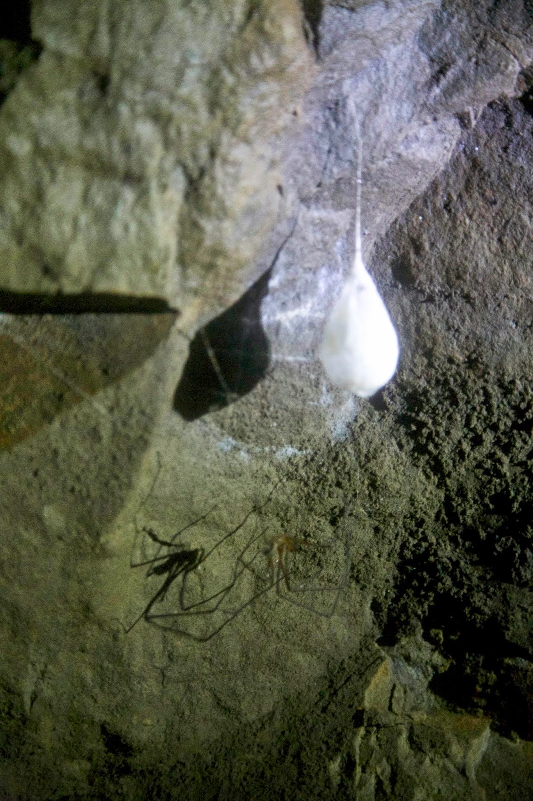
Terry took care to warn us about the large gaps in the floor, and once we were on solid ground, we stopped and looked around. There were two surprises: first the flashes of colour on the mine walls (what looked to me like copper oxide); and then the invertebrate that had made the shaft a comfortable home. The latter was a very large Tasmanian cave spider (Hickmania troglodytes), complete with its sizeable egg sac, hanging like a frozen tear drop from a thread of silk. This remarkable spider can live nearly as long as we humans can. And its nearest relatives are in Chile, meaning its ancestors date back to Gondwana. That makes it ancient in more than one sense. 

[A Tasmanian Cave Spider with egg sac, in Curtin-Davis Mine] 
I’d seen one of these spiders before in a cave, but had not expected to see one in a mine. I had to chuckle that even in this human-made environment, I was focussing more on wildlife than engineering achievements. I’d done the same once in Parliament House in Canberra, giving most of my attention to the Bogong moths that were flying around the chamber’s enormous lights, rather than the political pomp.

At the base of the slope the North-East Dundas Tramway once ran. It took ore from this and other mines back to the town of Dundas. It remains a remarkable engineering feat, given the steep and sodden nature of this place.

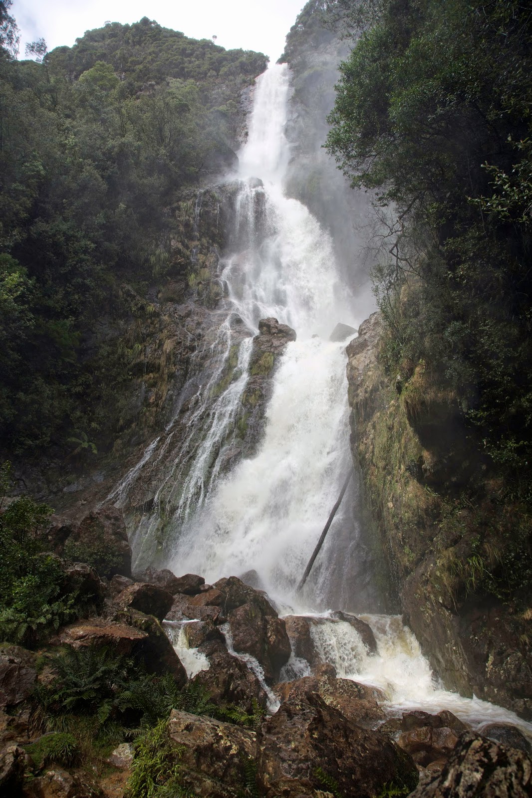
Even though the line and most of the bridges are no longer extant, the former tramway provided a wide and level means of reaching Montezuma Falls. Given the amount of rain that had fallen, we were keen to see this apparently spectacular waterfall. We weren’t disappointed. A prodigous amount of water was pouring over the 110m drop, enough to make us glad of our head-to-toe waterproofs as we gawped from the viewing deck.

[Montezuma Falls, Tasmania] 

Back in the 1920s, before the line was closed, rail trips to the falls were a feature for tourists. A late 1920s Mercury story tells us:

This little railway is a “show” line of the highest order, for it dives quickly amongst the mountains, brushing the fringe of the forests, and at one point giving a near view of the handsome Montezuma Falls – so near that the spray actually dashes at times against the carriage windows.


[Montezuma Falls with train] 
Today walkers, mountain bikers and a few experienced 4WD users still use the track. Where the bridges have gone the challenge for 4WD and MTB users is considerable. We stopped to watch as a couple of vehicles tried to cross one creek. By the time we left the score was Creek 1, 4WDs 1. One vehicle had decided – after two attempts – to give up on the crossing.
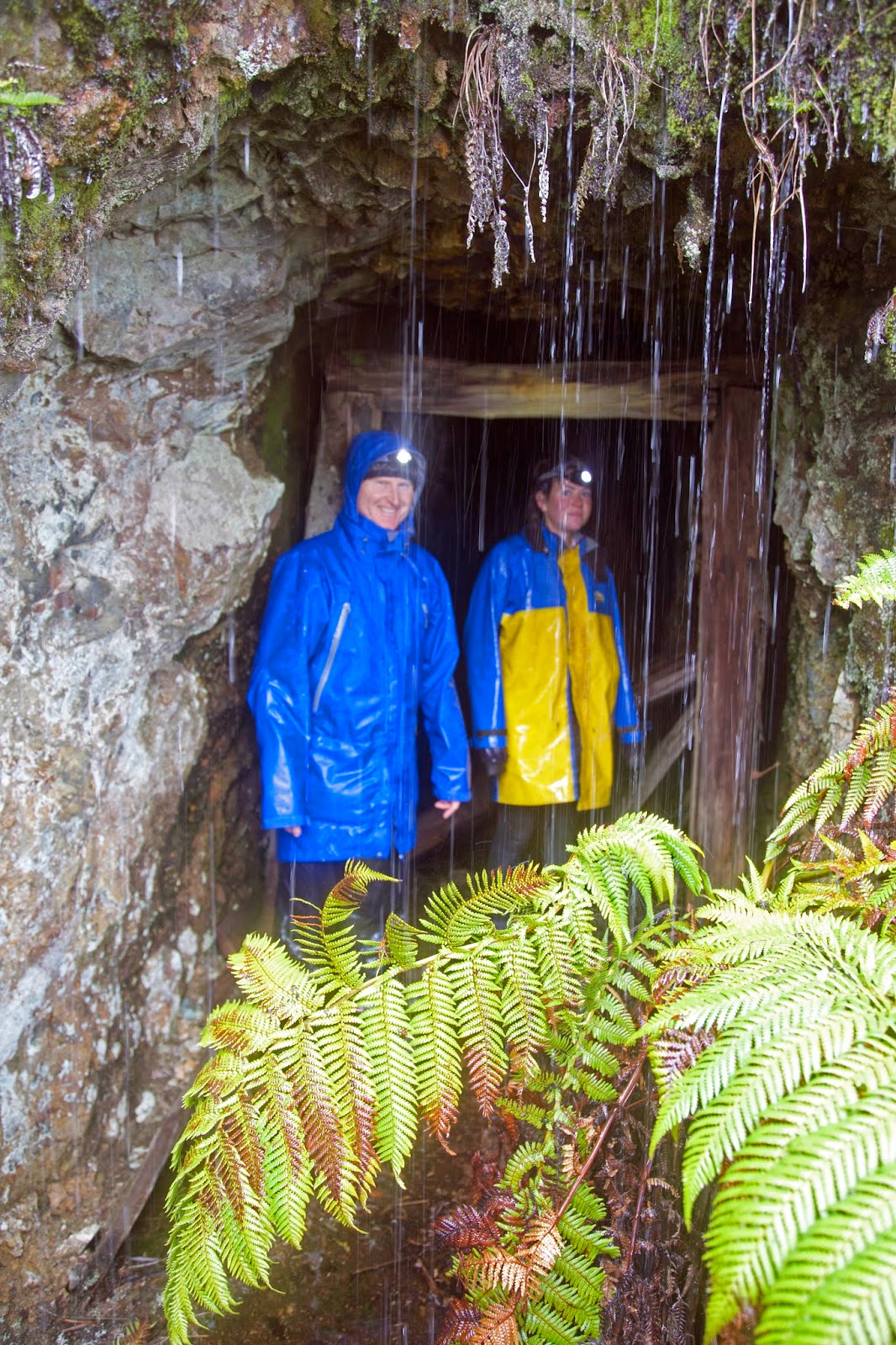

[Sheltering from the rain in an un-named mining adit] 
Our own (new) challenge was to leave this easy, broad track and take to the steep slopes that would lead to our next destination: Fraser Falls. We soon found out why it’s a seldom-visited waterfall. First we had a long, uphill, off-track steeplechase, just to get near to the falls. Then we had a slippery, muddy, nasty descent to get somewhere near to seeing the noisy-but-hidden falls.

With much grumping, slipping and sliding, we eventually reached a point where the falls could be seen. Smaller than Montezuma, but still high, impressive and very full, the falls were surrounded by thick, wet forest. Once we’d got near, a couple of us had to find “the” photographic view of the falls that would make the trip worthwhile. Naturally that involved some more scrambling, and negotiating slimy rocks above a swiftly-flowing stream. By the time we got there we were exhausted. But we took our photos, then slowly gasped and grunted our way back to the descent point.
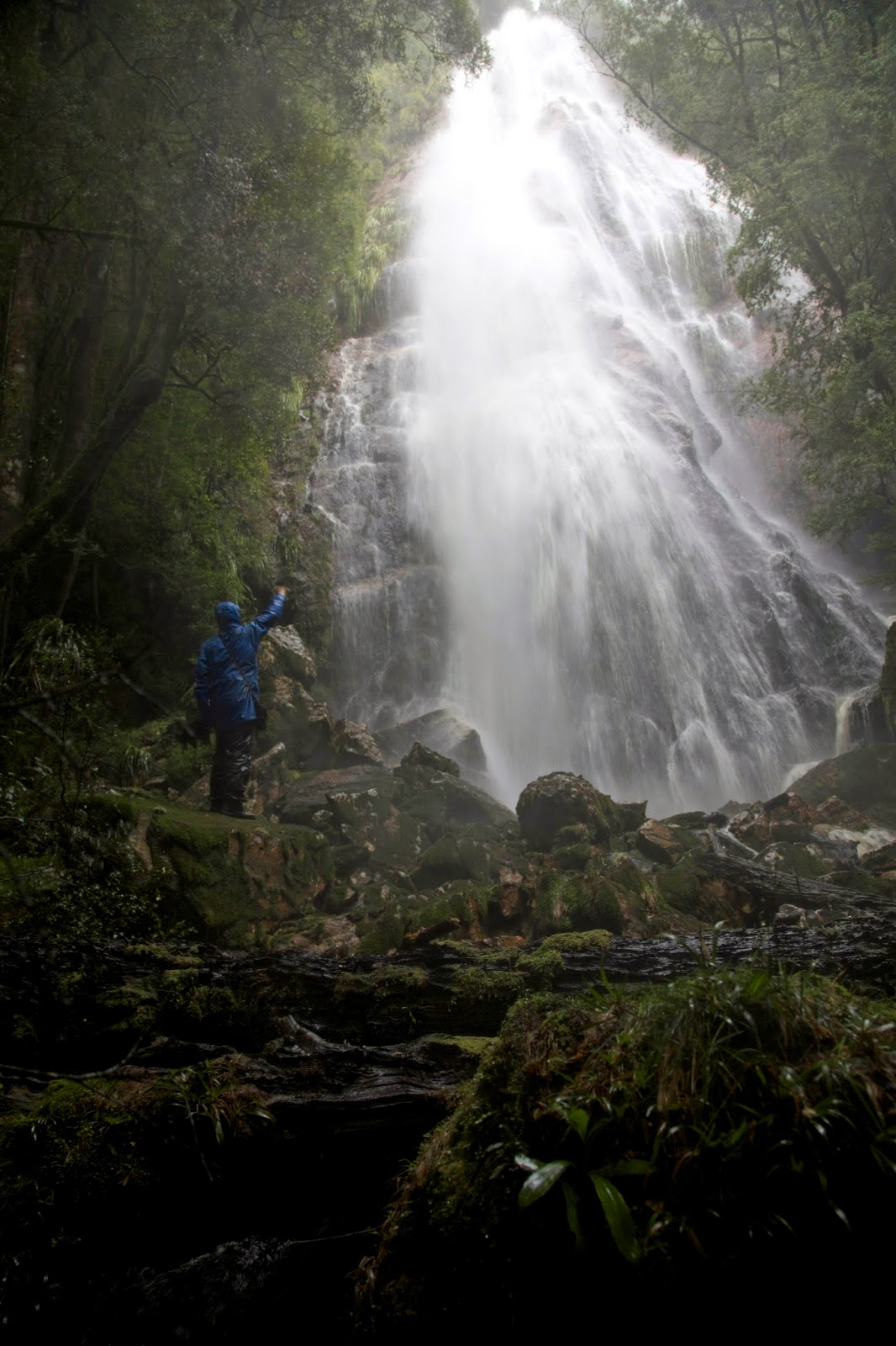

[The seldom-visited Fraser Falls] 
It would be great to say that Fraser Falls, being on Fraser Creek, was within cooee of the hut. It wasn’t. So it wasn’t “soon” that we finally pushed open the door to the hut. But I can end by saying that we did sleep very soundly that night, whatever the decibel rating of the snorers.

Sunday, 28 September 2014

A Walk in the West: Part 1


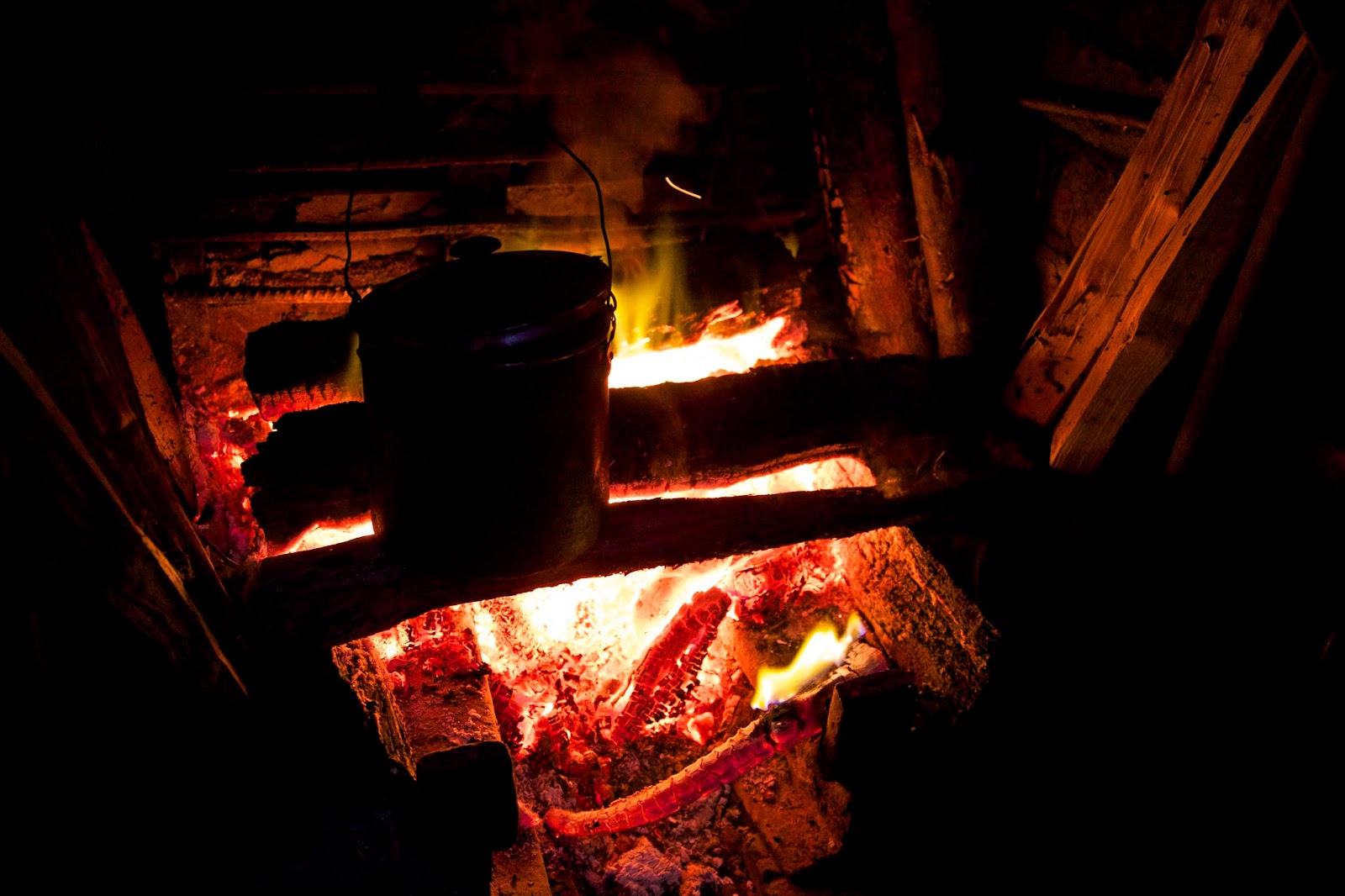
[A welcome glow!] 

In a climate where it rains almost continually for nine months in the year, mere pack tracks through a boggy soil are not in the best of condition, almost every step taking you up to your ankles in mud, and repeatedly you sink down to your knees in the sludge.

So wrote a reporter in Melbourne’s Argus newspaper during an 1895 assignment to the mines of Tasmania’s Dundas area. Given the hype associated with mining in Tasmania’s west at the time – and the fortunes won and lost on mere rumour - you’d expect to take even weather and track reports with a grain of salt.

But the anonymous scribe’s descriptions proved accurate enough during our recent trip into the area. The forecast had been reasonable a week or so out, but the west coast had reverted to its default position by the time we reached Queenstown. Showers continued as we wound around the curvaceous roads north of Queenstown. We reached what had once been the mining town of Dundas in time for lunch.

The map had led us to imagine we’d see remains of at least a school and a recreation ground. The 1:25 000 Dundas map even had a “post and telegraph reserve” marked nearby. Instead we found not one single building or ruin, only unmarked roads and tracks, a disused gravel quarry, and a lot of rainforest. Rain started afresh as we got our gear out of the car.


[Tim and Jim: on the right track] 
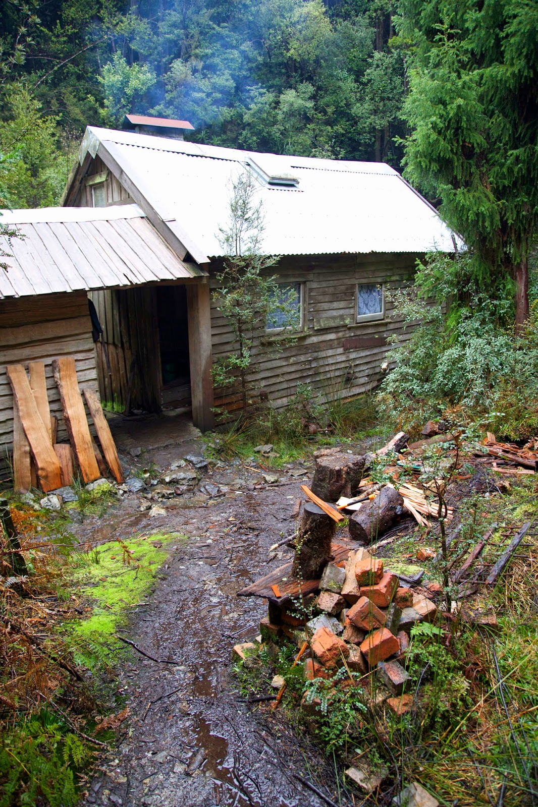
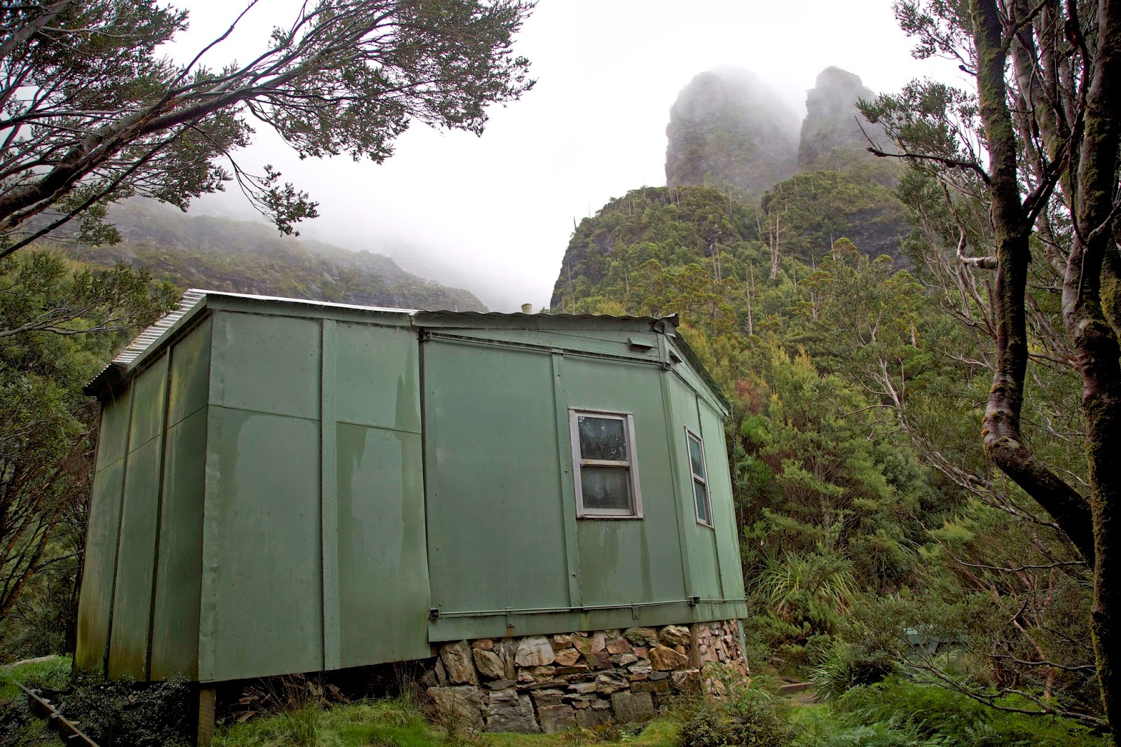
Kitted up in full rain gear we crossed the Dundas River on a log and wire bridge and started our two hour ascent up old mining tracks. Our destination was Fraser Creek Hut. The hut seems to have begun life in the early 1930s as a temporary building supporting King Billy pine milling in the area. Miners used it in subsequent decades, but it was as a Scout hut that it most recently came into its own.

We were to be hosted by Terry Reid, retired park ranger and Scout leader, and an old colleague of mine and Tim’s. A Queenstown local for many years, Terry, along his brother Peter, and Zeehan Scout leader Roger Nichols, was heavily involved in the hut’s restoration from the late 1970s onwards. They learned how to split King Billy palings, then passed on some of those skills to Venturer Scouts and other students. The palings were used to restore the hut’s walls and floorboards, and it became a base for those learning wilderness expedition skills.


[Fraser Creek Hut]
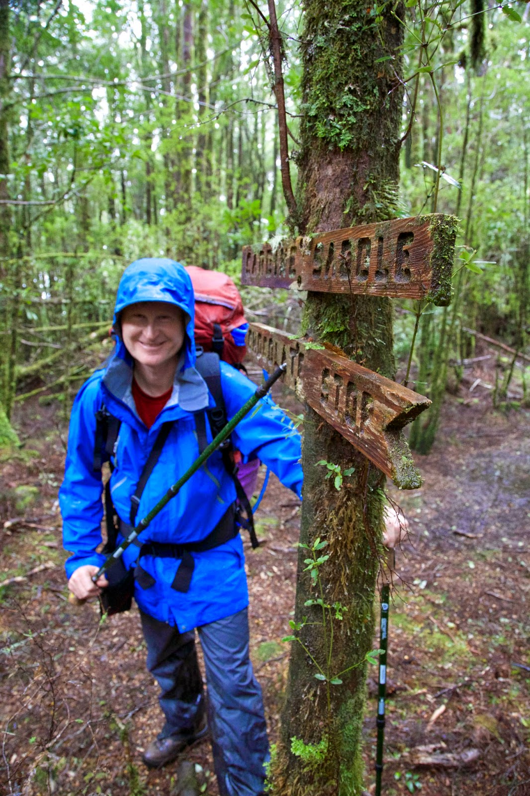
Our ascent towards the hut followed a steep 4WD mining track, which soon narrowed to become an even steeper walking track. Although the showers persisted, the ever-changing beauty of the rainforest did its best to distract us. A few routed signs assured us we were on the right track. One marked “Carbine Saddle” was accompanied by a helpful sign saying “Chocolate Stop”. Falling rain didn’t make obeying that a fully enjoyable task, but we did our token best.


[Anyone for chocolate?] 
After the saddle we hoped for, and were blessed with, a downhill track. It led to a creek crossing, helpfully sign-posted with names that would mean more to us in due course. We followed a track that had a remarkably symmetrical set of climbing “steps”, which we guessed were the foundations of a tramway used in mining and logging. Water flowed down the track, but at least there were no knee-deep bogs. Not long afterwards piles of cut logs stacked beside the track gave us the strong hope that we were nearing the hut. Smoke swirling through the sodden forest was the clincher. And we were just in time for afternoon tea!

Terry, Jess and Mel had come up a day ahead of us, and as we stumbled into the hut we were relieved to find the fire going and the kettle boiling. Once we’d got our (very) wet gear off, we relaxed by the fire, downing a cuppa or two as Terry introduced us to the hut.


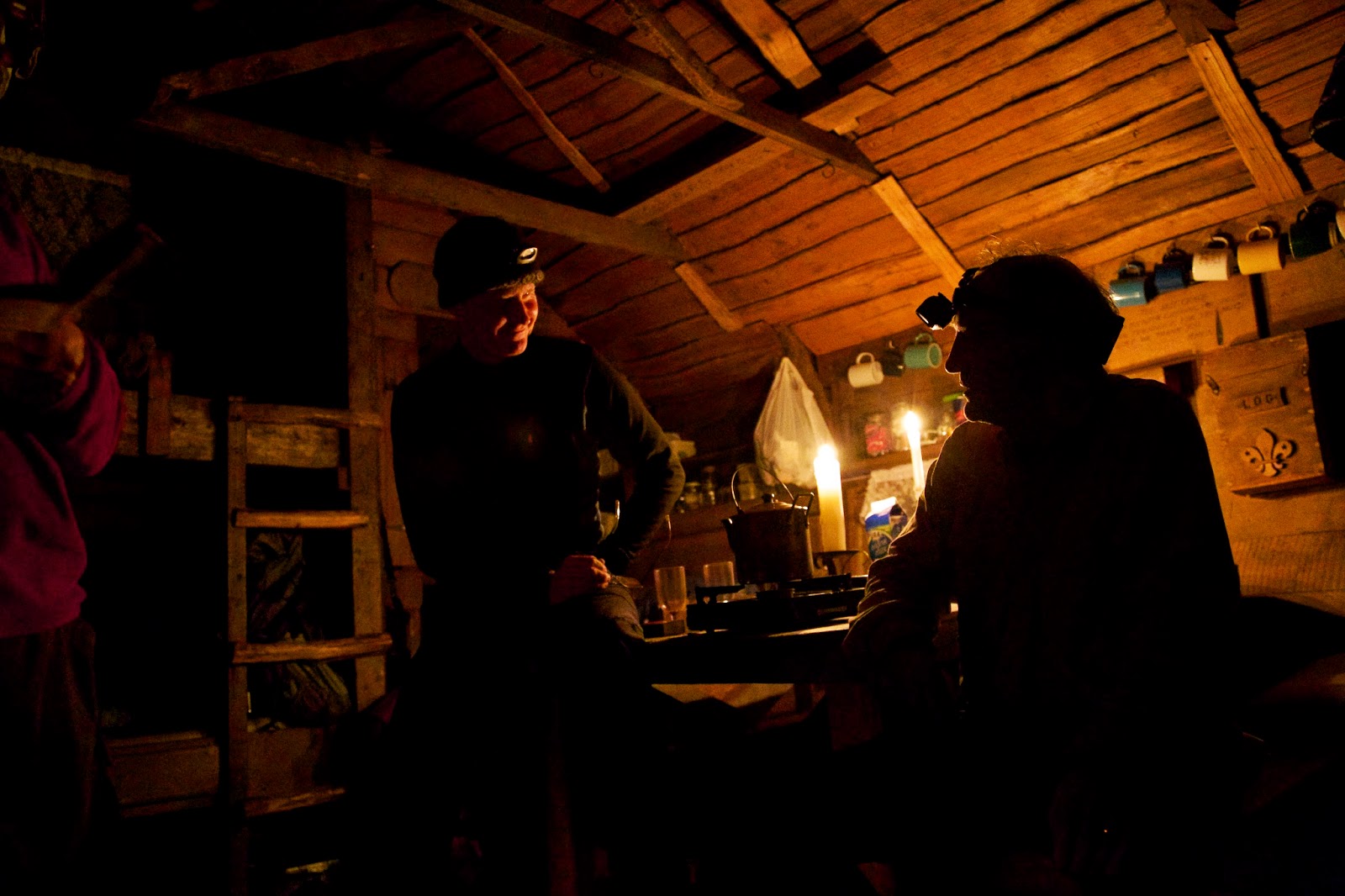
[Tim and Terry chat inside the hut] 

If there is a timber as fine and versatile as Tasmania’s King Billy pine, I’d like to meet it. With the fire light flickering on the pine-lined walls, the hut exuded a honeyed warm glow. Once we had food and wine inside us, the memories of the sodden walk were banished. Talk flowed, the fire was stoked, and for now there was no better place to be in the world.

Sunday, 30 March 2014

Frenchmans Cap 2: Fires on the Mountain

If progress towards Frenchmans Cap is measured in altitude gain, the efforts of the first day’s walk haven’t got us very far. We have left the highway at maybe 385m above sea level, and by the time we stagger into Lake Vera Hut, nearly 7 hours later, we’re only at about 552m.

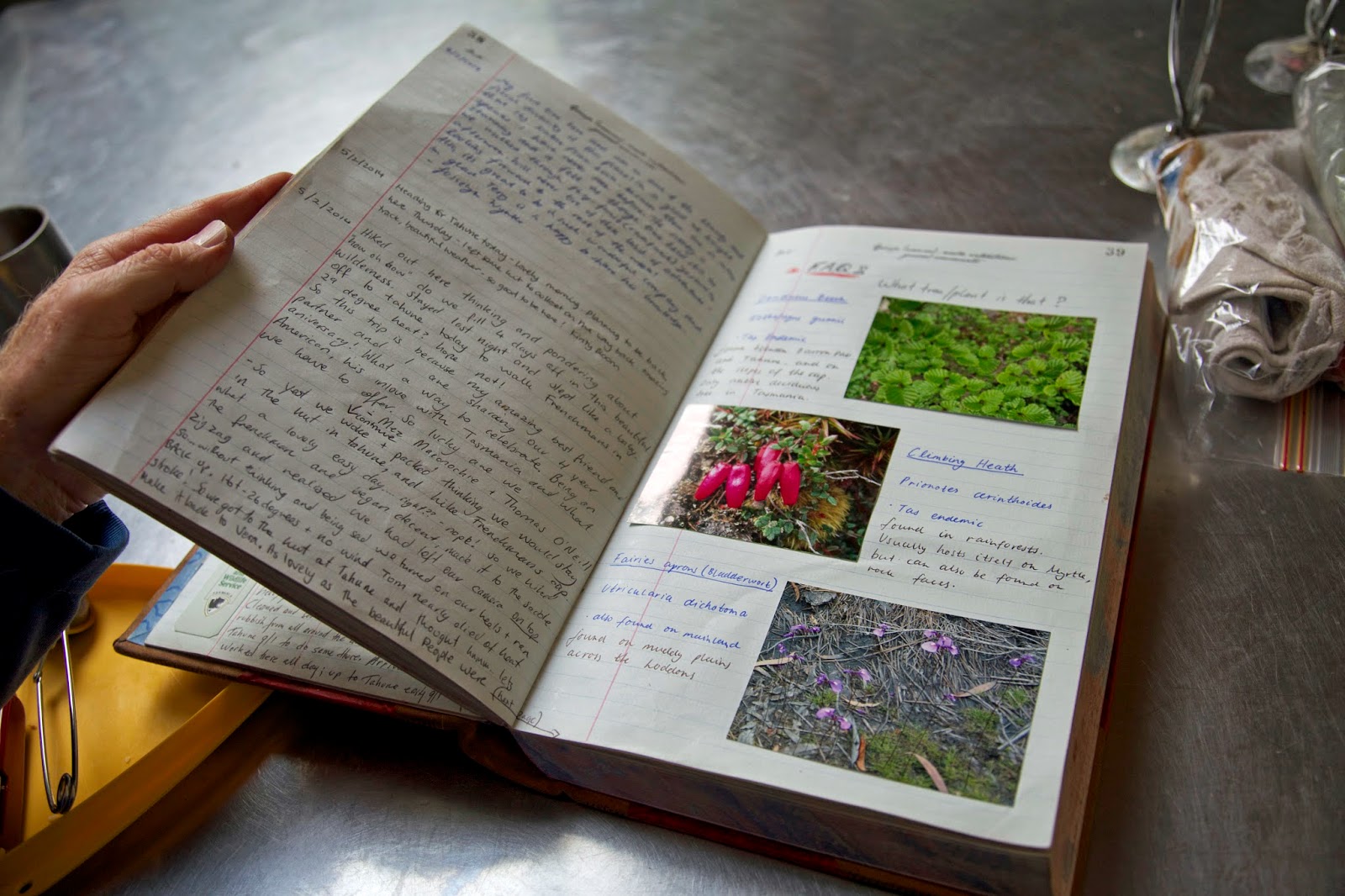
We’re not inclined to do the maths just then, but that means we still have 900 odd metres of up to do before we get to the 1446m summit. For now the hut is enough. Despite our fatigue, we can’t help noticing how “kempt” it looks; bright, painted, swept and cheery. We recognise the hand of former ranger Terry Reid, who has acted as a part-time track ranger here since his retirement. Little bags with fire lighters, freshly-chopped kindling, a full bin of coal briquettes, spray surface cleaner and cloths, candles in holders, and a wonderfully informative log book: these little things add to the feeling that we’ve come to a place that is cared for – and that we’re welcome to.


[The lovingly kept log book, Lake Vera Hut] 
The feeling carries on to the welcome from the walkers already in the hut. Rather than the grudging grimaces and reluctant gear shifting that can greet you when you enter a hut, the incumbents smile, welcome us, and show us which sleeping platforms are free. Along with the warmth from the fire, it sets the tone for a night of good – and surprisingly deep – conversation with some of our hut-kin.

Some of our conversation is even about bushwalking, from which we learn of the summit disappointments of those soon to head out from Lake Vera. Weather and bodily struggles have both played a part here, underlining to us that the major challenges of the walk are still ahead of us.

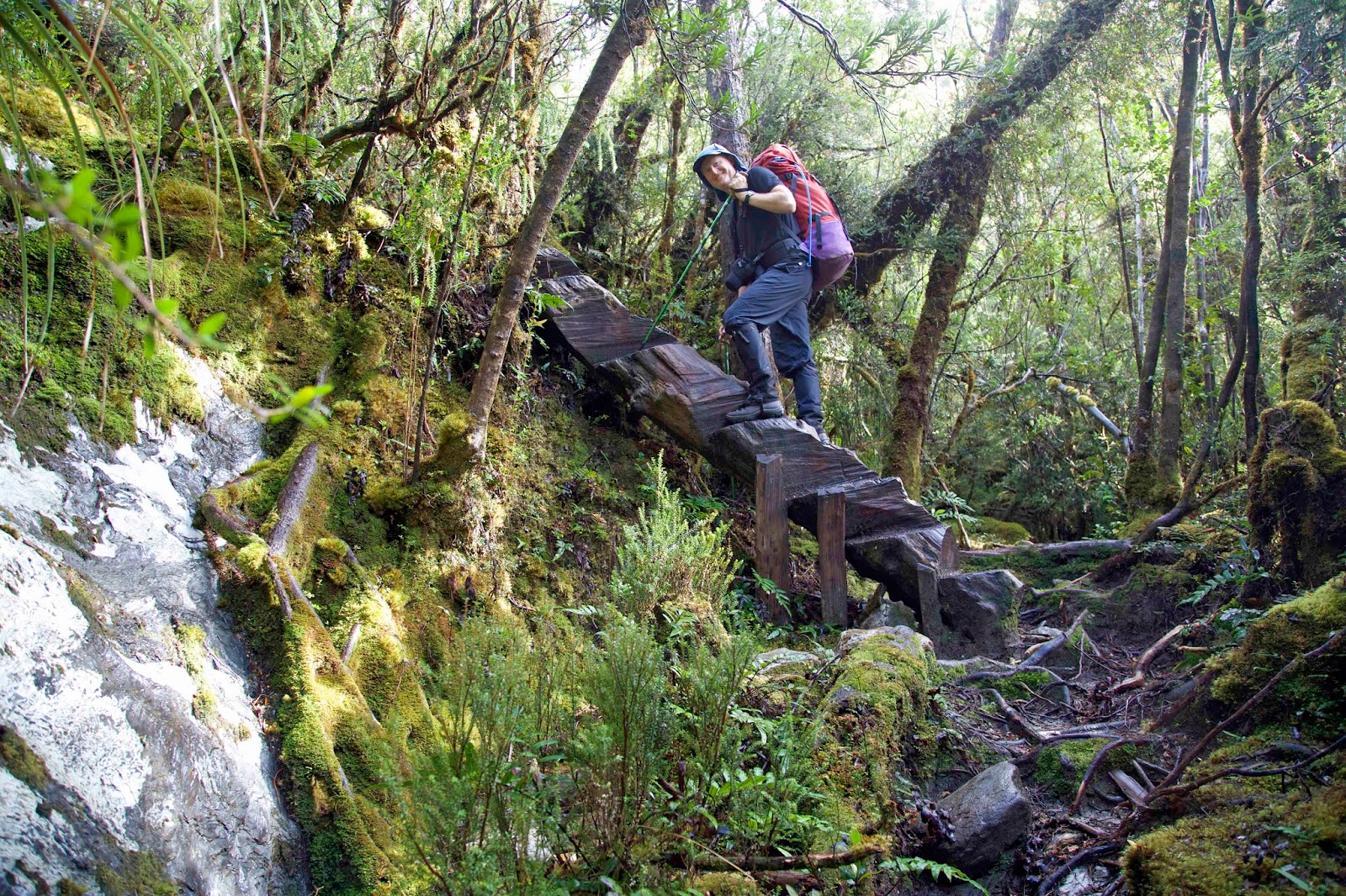
Still, the only way to climb 900m is one-step-at-a-time. It’s helped by the fact that many of the steps beside and above Lake Vera are through some of the most beautiful – if steep – rainforest anywhere in Tasmania. Some of those steps are literally made from the rainforest. Several fallen trunks have been turned into ladders, with notches cut out to fit walkers’ feet. A few muddy sections even have Huon pine rounds in them, an extraordinary extravagance if you consider only the “city” price of that wood.


[Tim ascends one of the "log ladders" above Lake Vera] 
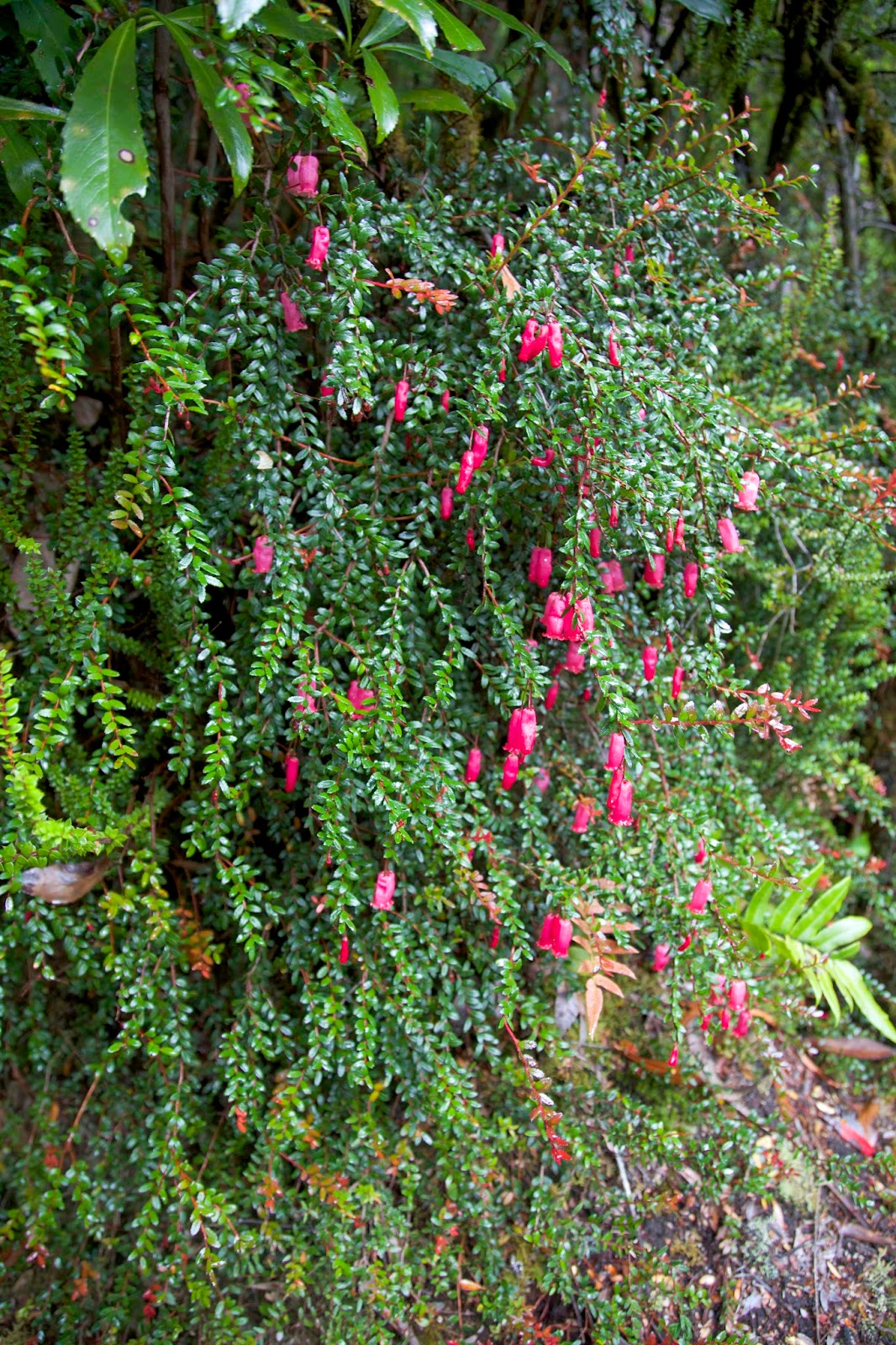
Tree-ring dating of Huon pine around Lake Vera shows that some began life here nearly 2 000 years ago. The same dendrochronolgy reveals some of the climate and fire history in the region, with significant fire events few and far between. This relative stability has encouraged the growth of complex, implicate rainforest with superb examples of high altitude King Billy and Huon pines alongside myrtle, sassafras, pandani, ferns, flowering heath and a wealth of fungi. The forest has a still and timeless beauty, dulling our desire to keep sweating our way up to Barron Pass. Or perhaps you could put that down to fatigue and a full pack.


[Climbing Heath (Prionotes cerinthoides) in flower] 
It’s only as we finally break out at Barron Pass that we start to see what happens when fire does burn through this mountainous country. A fire lit by linesmen near the Lyell Highway in 1966 burned up through this area, devastating groves of King Billy pine, incinerating the Lake Tahune Hut, charring a vast area around Frenchmans Cap and beyond.

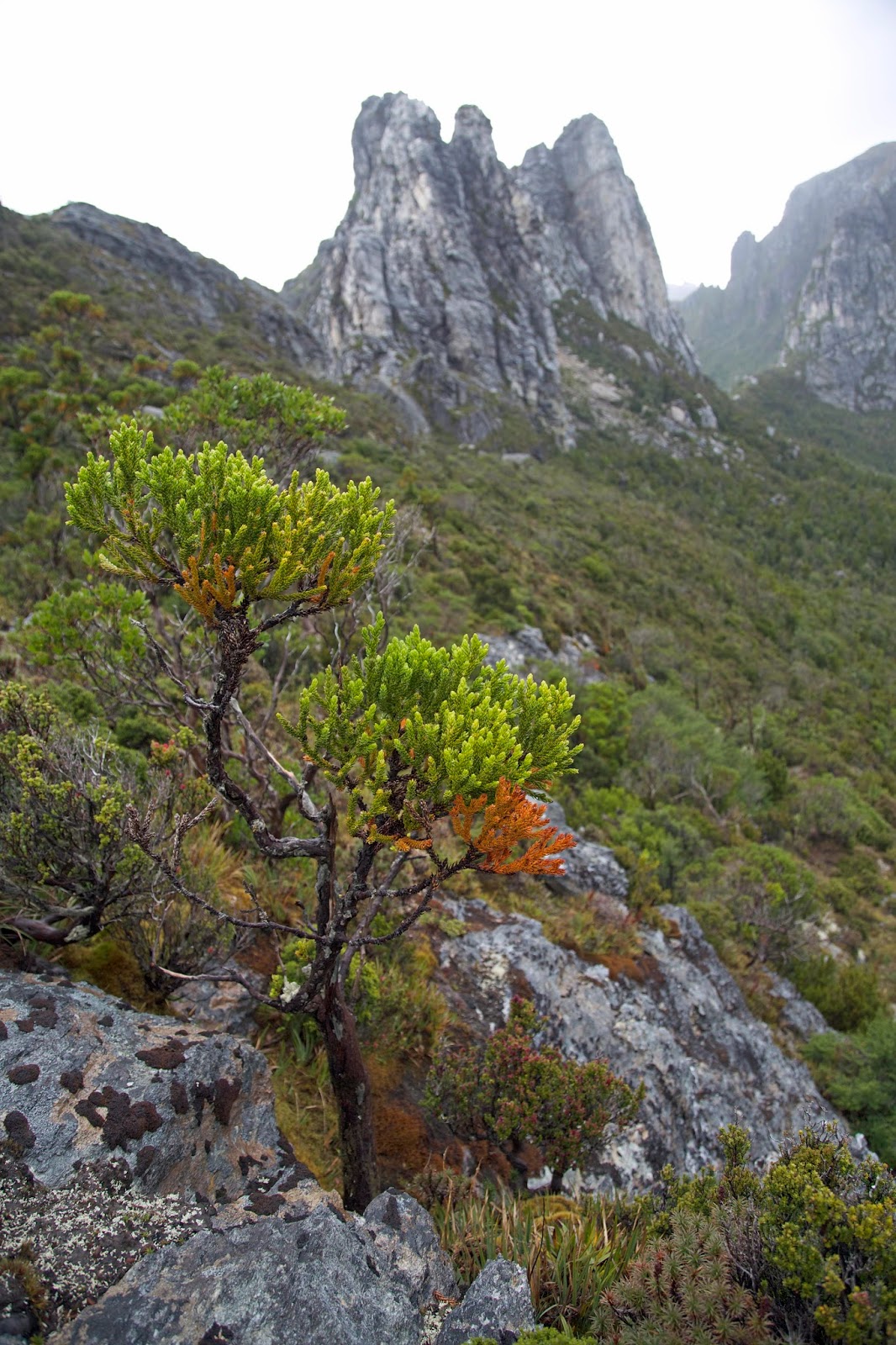
From Barron Pass through Artichoke Valley and on to Lake Tahune we see hundreds of stags of burned King Billy pines. For a tree with a limited range and a seven-year-long reproductive cycle, this was a catastrophic blaze. While the pines won’t return to their former glory in our lifetime – and possibly never will – it is encouraging to see some young King Billys along the track.


[A King Billy pine sapling beneath Nicoles Needle] 
While we’re contemplating fires in the mountains, it is raining, of course. We shelter for lunch in a very welcome cave beneath the quartzite spire of Nicoles Needle, then squelch our way across and down to Lake Tahune. The hut there was rebuilt five years after the 1966 fire. It is smaller hut than Lake Vera’s, and more humble, ugly even. It was prefabricated off-site, flown in by helicopter in two parts and positioned on Huon pine foundations. Poor ventilation, along with the frequently cold, moist air and often soggy bushwalkers, make it inclined to mould.


[A humble hut in a majestic setting: Tahune Hut] 
But it is in a spectacular setting, perched on a small forested shoulder beside the lake, with the sheer cliffs, rocky knuckles and steep passes of Frenchmans Cap directly above. In the weather that prevails we only see hints of this, ‘though later we will appreciate it more fully. In the meantime we appreciate the warmth – ironic given the fire history – of the hut’s little coal stove. We will soon be warm and dry and ready for tomorrow. That’s planned to be our summit day.