 |
[A welcome glow!] |
In a climate where it rains
almost continually for nine months in the year, mere pack tracks through a
boggy soil are not in the best of condition, almost every step taking you up to
your ankles in mud, and repeatedly you sink down to your knees in the sludge.
So wrote a reporter
in Melbourne’s Argus newspaper during
an 1895 assignment to the mines of Tasmania’s Dundas area. Given the hype
associated with mining in Tasmania’s west at the time – and the fortunes won
and lost on mere rumour - you’d expect to take even weather and track reports
with a grain of salt.
But the anonymous
scribe’s descriptions proved accurate enough during our recent trip into the
area. The forecast had been reasonable a week or so out, but the west coast had
reverted to its default position by the time we reached Queenstown. Showers
continued as we wound around the curvaceous roads north of Queenstown. We
reached what had once been the mining town of Dundas in time for lunch.
The map had led us
to imagine we’d see remains of at least a school and a recreation ground. The
1:25 000 Dundas map even had a “post and telegraph reserve” marked nearby.
Instead we found not one single building or ruin, only unmarked roads and
tracks, a disused gravel quarry, and a lot of rainforest. Rain started afresh as
we got our gear out of the car.
 |
[Tim and Jim: on the right track] |
Kitted up in full
rain gear we crossed the Dundas River on a log and wire bridge and started our
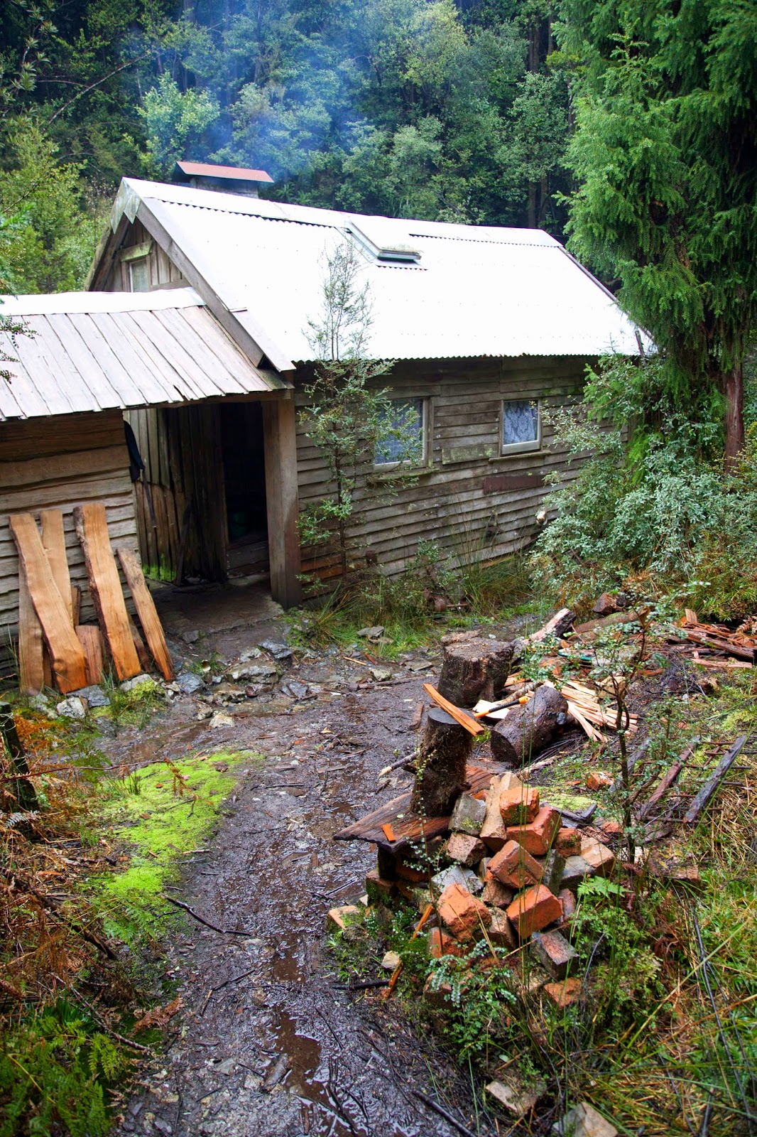
two hour ascent up old mining tracks. Our destination was Fraser Creek Hut. The
hut seems to have begun life in the early 1930s as a temporary building
supporting King Billy pine milling in the area. Miners used it in subsequent
decades, but it was as a Scout hut that it most recently came into its own.
We were to be
hosted by Terry Reid, retired park ranger and Scout leader, and an old
colleague of mine and Tim’s. A Queenstown local for many years, Terry, along
his brother Peter, and Zeehan Scout leader Roger Nichols, was heavily involved in the hut’s restoration from the late
1970s onwards. They learned how to split King Billy palings, then passed on
some of those skills to Venturer Scouts and other students. The palings were
used to restore the hut’s walls and floorboards, and it became a base for those
learning wilderness expedition skills.
 |
[Fraser Creek Hut] |
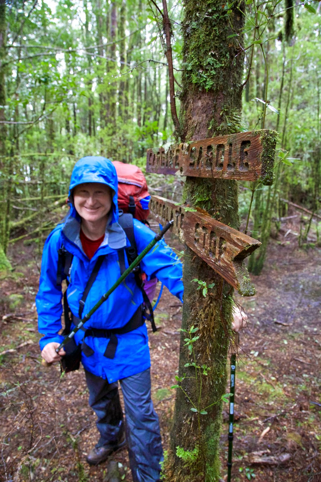
Our ascent towards
the hut followed a steep 4WD mining track, which soon narrowed to become an
even steeper walking track. Although the showers persisted, the ever-changing
beauty of the rainforest did its best to distract us. A few routed signs
assured us we were on the right track. One marked “Carbine Saddle” was
accompanied by a helpful sign saying “Chocolate Stop”. Falling rain didn’t make
obeying that a fully enjoyable task, but we did our token best.
 |
[Anyone for chocolate?] |
After the saddle we
hoped for, and were blessed with, a downhill track. It led to a creek crossing,
helpfully sign-posted with names that would mean more to us in due course. We
followed a track that had a remarkably symmetrical set of climbing “steps”,
which we guessed were the foundations of a tramway used in mining and logging. Water
flowed down the track, but at least there were no knee-deep bogs. Not long
afterwards piles of cut logs stacked beside the track gave us the strong hope
that we were nearing the hut. Smoke swirling through the sodden forest was the
clincher. And we were just in time for afternoon tea!
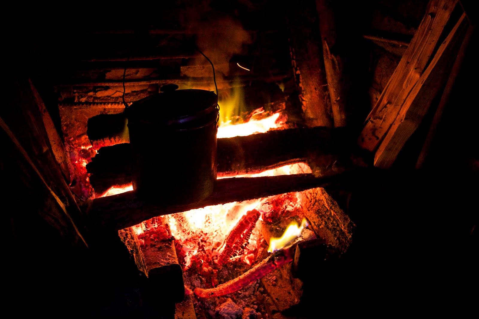
Terry, Jess and Mel
had come up a day ahead of us, and as we stumbled into the hut we were relieved
to find the fire going and the kettle boiling. Once we’d got our (very) wet
gear off, we relaxed by the fire, downing a cuppa or two as Terry introduced us
to the hut.
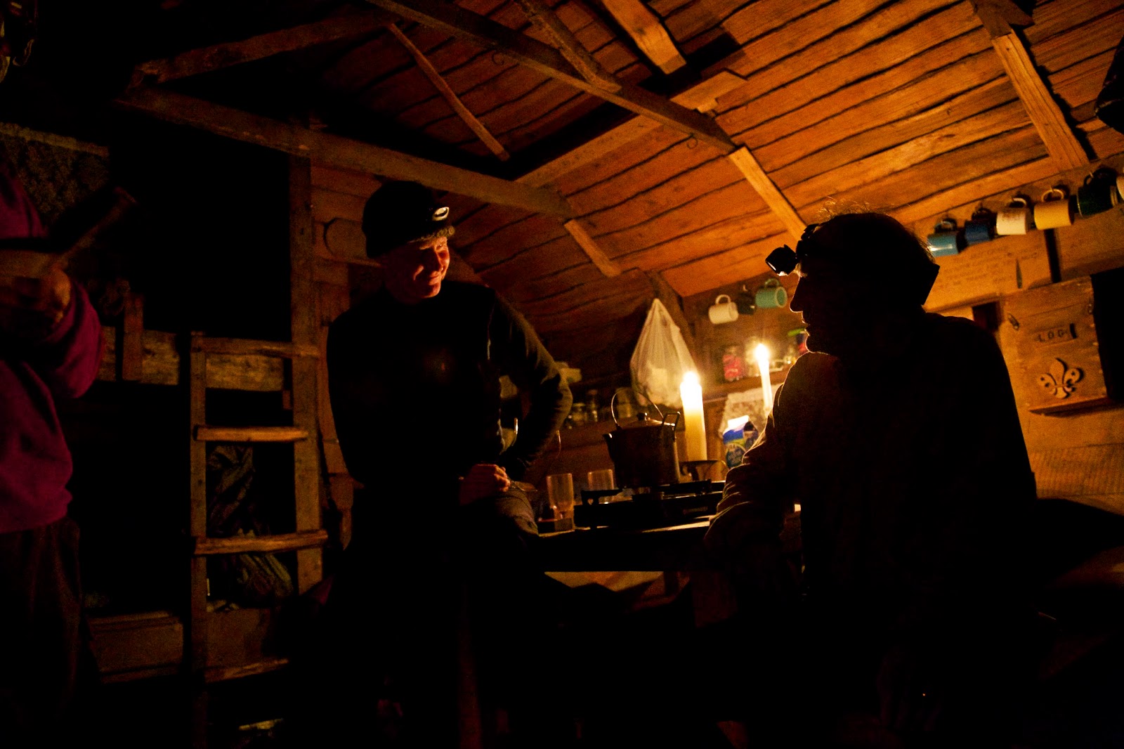 |
[Tim and Terry chat inside the hut] |
If there is a
timber as fine and versatile as Tasmania’s King Billy pine, I’d like to meet
it. With the fire light flickering on the pine-lined walls, the hut exuded a
honeyed warm glow. Once we had food and wine inside us, the memories of the
sodden walk were banished. Talk flowed, the fire was stoked, and for now there
was no better place to be in the world.


